

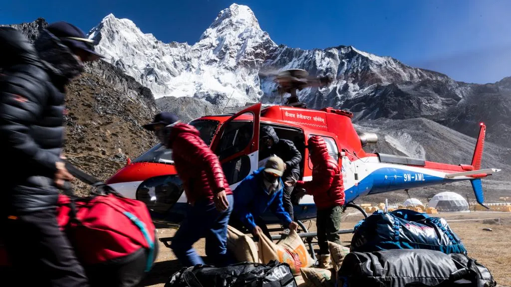
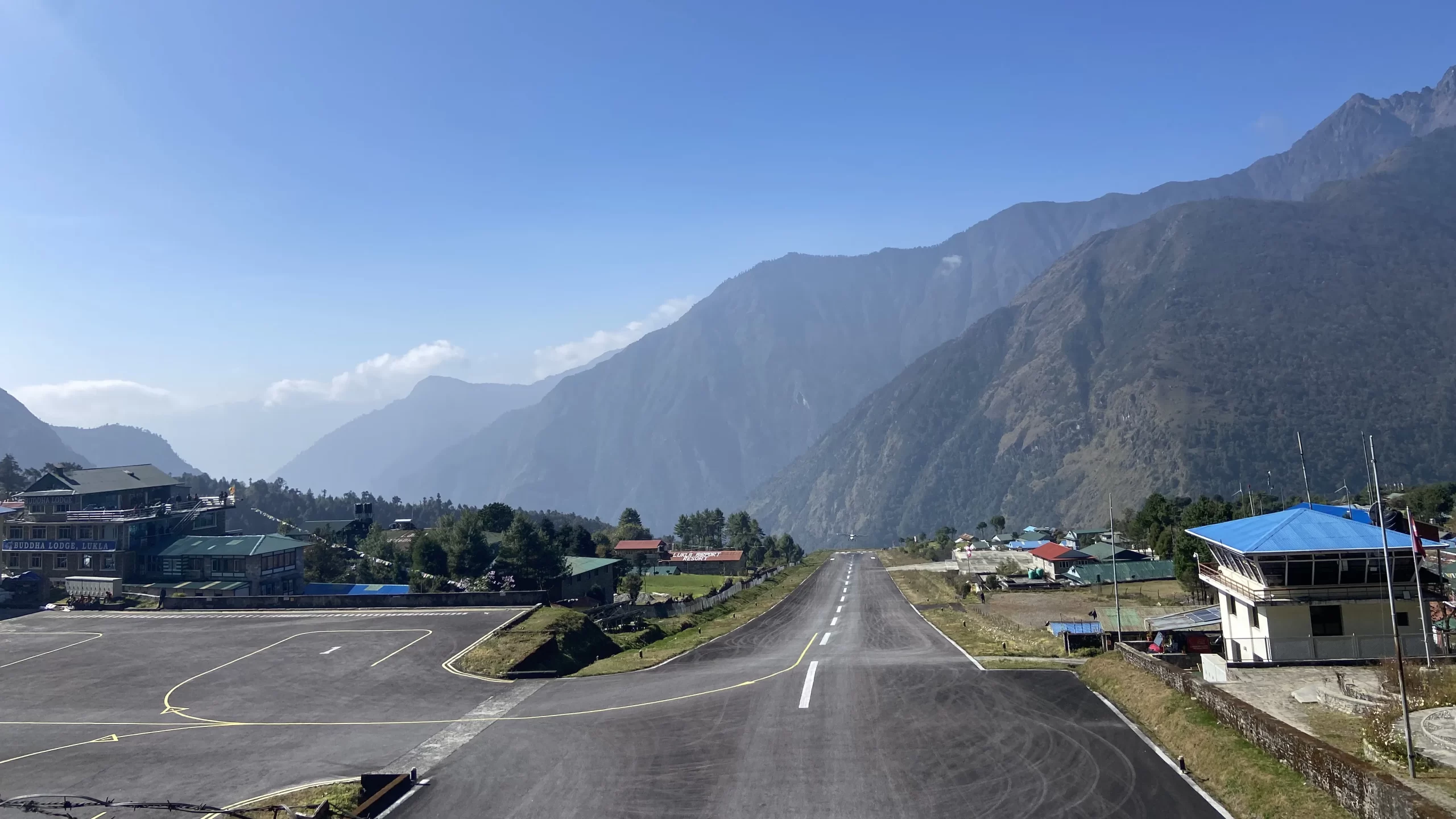
When a media outlet as respectable as the BBC comments that Lukla is the “most dangerous airport” in the world, one does take it seriously. And then every other travel blog dubs it to be the most dangerous, and we have a cascade of the labelling of Lukla as an aerodrome of the most extreme kind in the world. But there are a number of airports in the Everest region that are as dangerous as, if not more dangerous than, Lukla Airport (LUA), often known as Hillary Airport, itself. Let’s take a look at all the airports in the Everest region.
Mingbo Airstrip – the first airstrip in Khumbu
It might come as a surprise that none of the airports in the Everest region barring one (i.e., Lukla airport) sees regular passenger operations. But despite having been built in the 1970s, Lukla wasn’t the first airport in the Everest region: Mingbo was.
If it had passed the test of time, the Mingbo airstrip would have been the most dangerous airstrip in the world. It probably would also have been the highest. This largely abandoned airport was perched at an altitude of 15,000 ft, reported Sir Edmund Hillary in his book “The View from the Summit” that it was built on his behest:
“So at my request, the Silver Hut wintering group put a team of men on to levelling the site at 15,000 feet, chopping off the frozen clumps of snow grass, filling in the worst of the holes, and rolling away the large boulders. Snow sometimes restricted their activity but it rarely lay for long once the sun was shining again. When the strip had been cleared to 400 yards the first landing was made.”
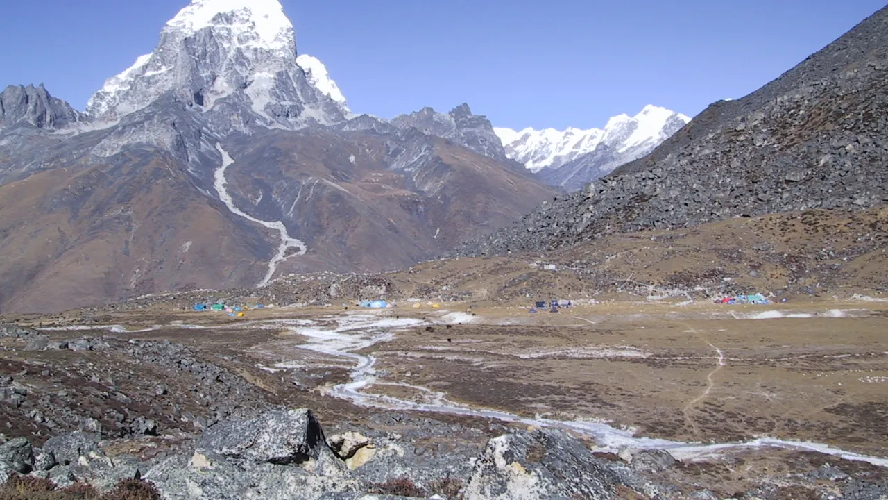
The now forgotten/lost Mingbo Airstrip
Mingbo’s primary purpose was to help bring in relief goods for Tibetan refugees in the Everest region. For this, a Pilatus Porter was used. Mingbo Airport was also instrumental in the construction of Khumjung School. Here’s how the Mingbo Airstrip looks in its present form when travelers set up tents during their ascent to Ama Dablam:
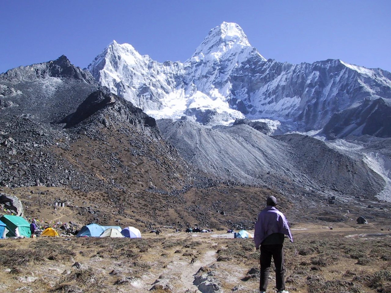
Despite the airstrip having no scheduled operations now, one of the older maps of Nepal studded with aerodromes does highlight an airstrip in Thyangboche, perhaps referring to the Mingbo airstrip, the following map being an example.
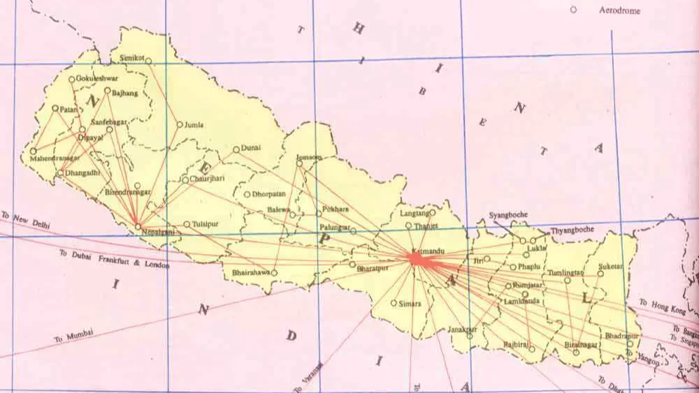
The labor cost in the construction of Mingbo airstrip was $900 making it “one of the cheapest as well as one of the highest airfields in the world”, said Sir Hillary.
Syangboche Airport
In the map of Nepal’s aerodrome (above), one can see Syangboche Airport quite close to the aerodrome at Syangboche. Syangboche Airport is one of the most picturesque airports in the world as it is surrounded by the most gorgeous mountains of the Khumbu region.
| Field | Details |
|---|---|
| Aerodrome Reference Point | 274837 N / 0864243 E |
| Province/District | Koshi / Solukhumbu |
| Distance and Direction from City | Near Namche Bazaar |
| Elevation | 3748 m / 12293 ft |
| Area | Approx. 54,435.18 m² |
| Type of Traffic Permitted | Visual Flight Rules (VFR) |
| Runway Surface Type | Earthen |
| Runway Dimension | 405 m × 30 m |
| Runway Designation | 13/31 |
The following photograph is the one taken from one of the runways:
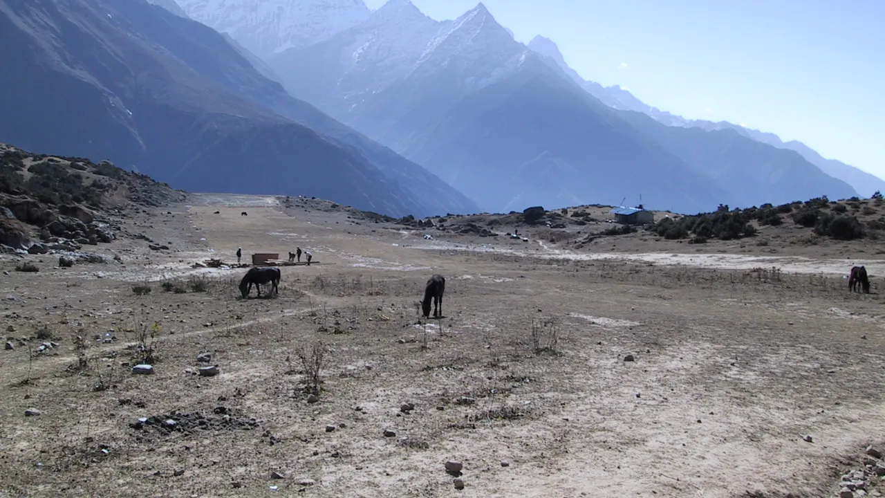
Photo: Ivan G. Somlai
This airport is currently non-functional, though Tara Air and Nepal Airlines used to have scheduled operations in this airport in the past. In the summers. The area surrounding the airport is a grazing spot for horses in Syangboche. Delightful mountain views also lie to the right of this runway, as shown in the photograph below:
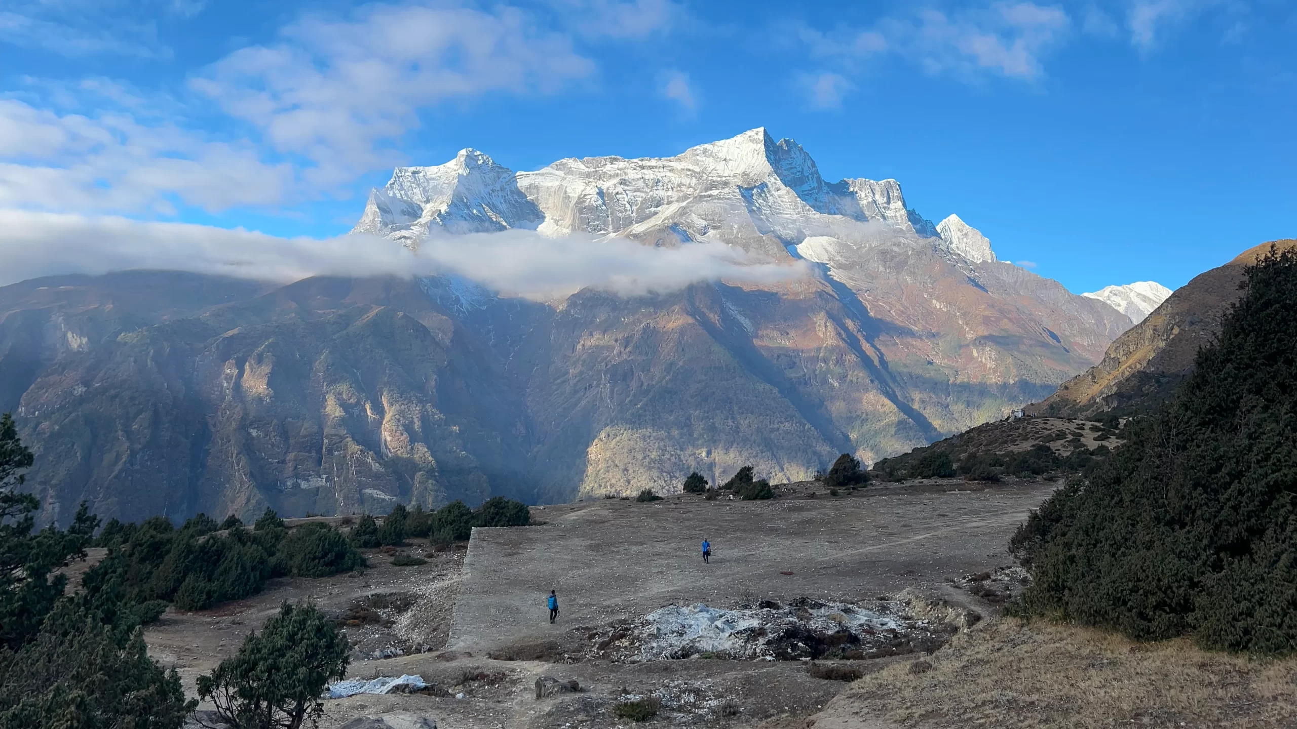
Pedestrians in Syangboche Airport’s runway
Syangboche airport is notorious for the winds that blow here, making passenger operations in this airport difficult. There also have been some issues regarding operations at this airport as people feel that opening this airport would mean that places airstrips such as Lukla wouldn’t see as much traffic as it currently does. After all, getting to Syangboche airport directly (instead of flying to Lukla and trekking two days to get to Syangboche) would affect businesses that lie in lower altitudes, reported the Nepali Times:
“ Villagers living between Lukla and Namche Bazar on the Mt Everest trail fear they will lose their livelihood if trekking and cargo traffic flies directly into Syangboche, bypassing Lukla. The Namche VDC says the extension of the (Synagboche) airport will benefit 5 percent of Khumbu’s businessmen but affect the livelihoods of 95 percent of the local population. Syangboche airport falls within the Sagarmatha National Park, a world heritage site, and there are questions about the impact on wildlife of increased air traffic and noise.”
Besides, Syangboche airport turns into a frozen desert in the winter snows, giving the Nepalese government a tough time to decide if construction of the airport is really necessary:
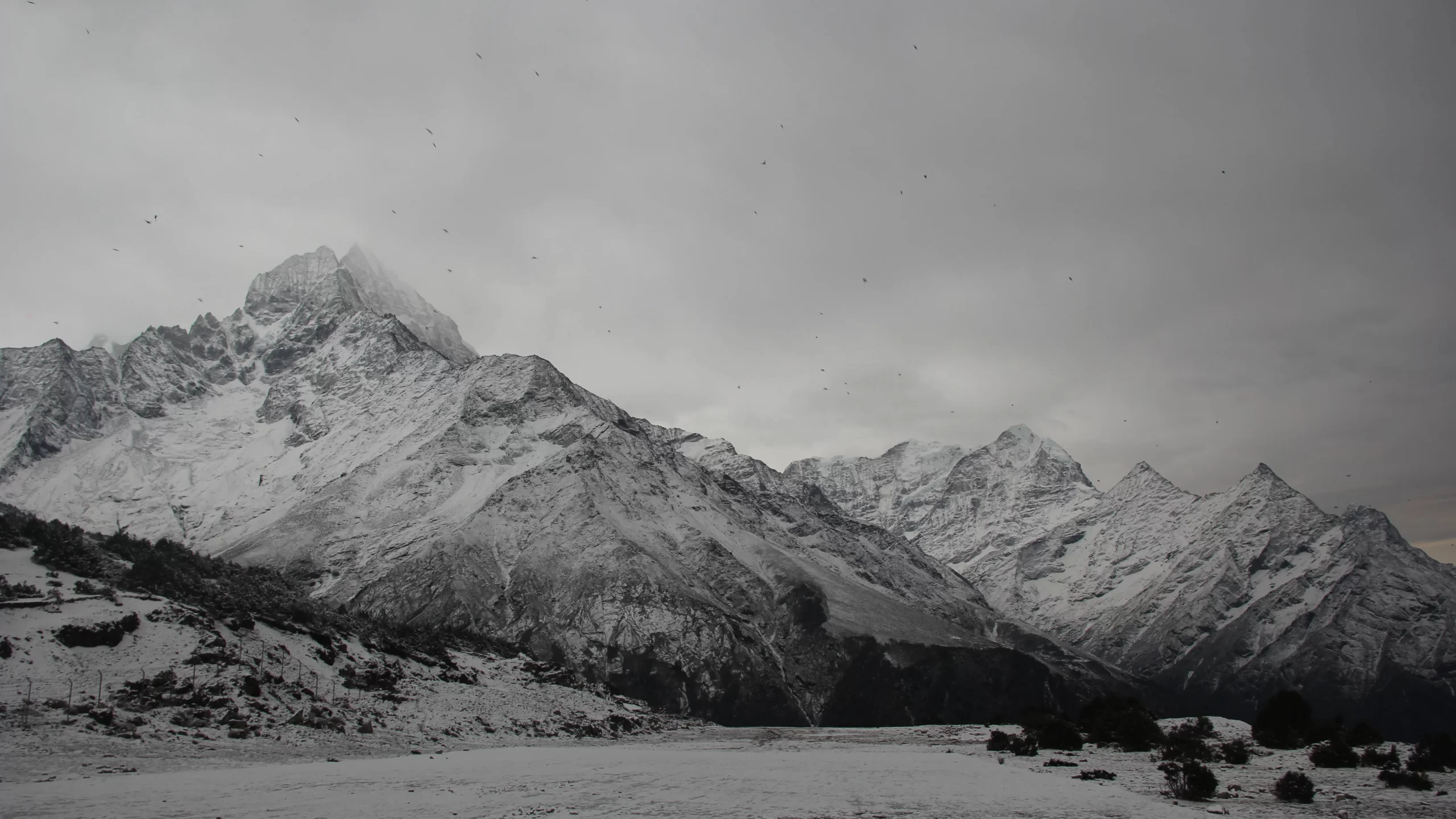
Photo: Pasang Chhiki Sherpa | aviospace.org
You can read about Syangbcohe in detail in our guide below:
Phaplu Airport
Phaplu Airport lies in the Solu Dudhkund Municipality of Solukhumbu District, the very district where all the air strips we have discussed so far lie. The airport lies close to the district headquarters – Salleri. The airstrip was constructed in 1976 and lies at an altitude of 2468 m (8097 ft).
| Field | Details |
|---|---|
| Aerodrome Reference Code | PPL |
| Reference Code Classification | 1B |
| Aerodrome Reference Point | 273053 N / 0863510 E |
| Province/District | 1 (One) / Solukhumbu |
| Distance and Direction from City | 1 km North West |
| AFS | VNPLYDYX |
| Operation Hours (16 Feb – 15 Nov) | 0630 LT – 1215 LT |
| Operation Hours (16 Nov – 15 Feb) | 0600 LT – 1215 LT |
| Status | In Operation |
| Serviceability | All Weather |
| Land Area | Approx. 84,288.04 m² |
| Service | AFIS |
| Type of Traffic Permitted | Visual Flight Rules (VFR) |
| Type of Aircraft | D228, DHC6, L410, Y12 |
| Scheduled Operating Airlines | Tara Air, Sita Air, Nepal Airlines, Summit Air |
| Scheduled Connectivity | Kathmandu, Lukla |
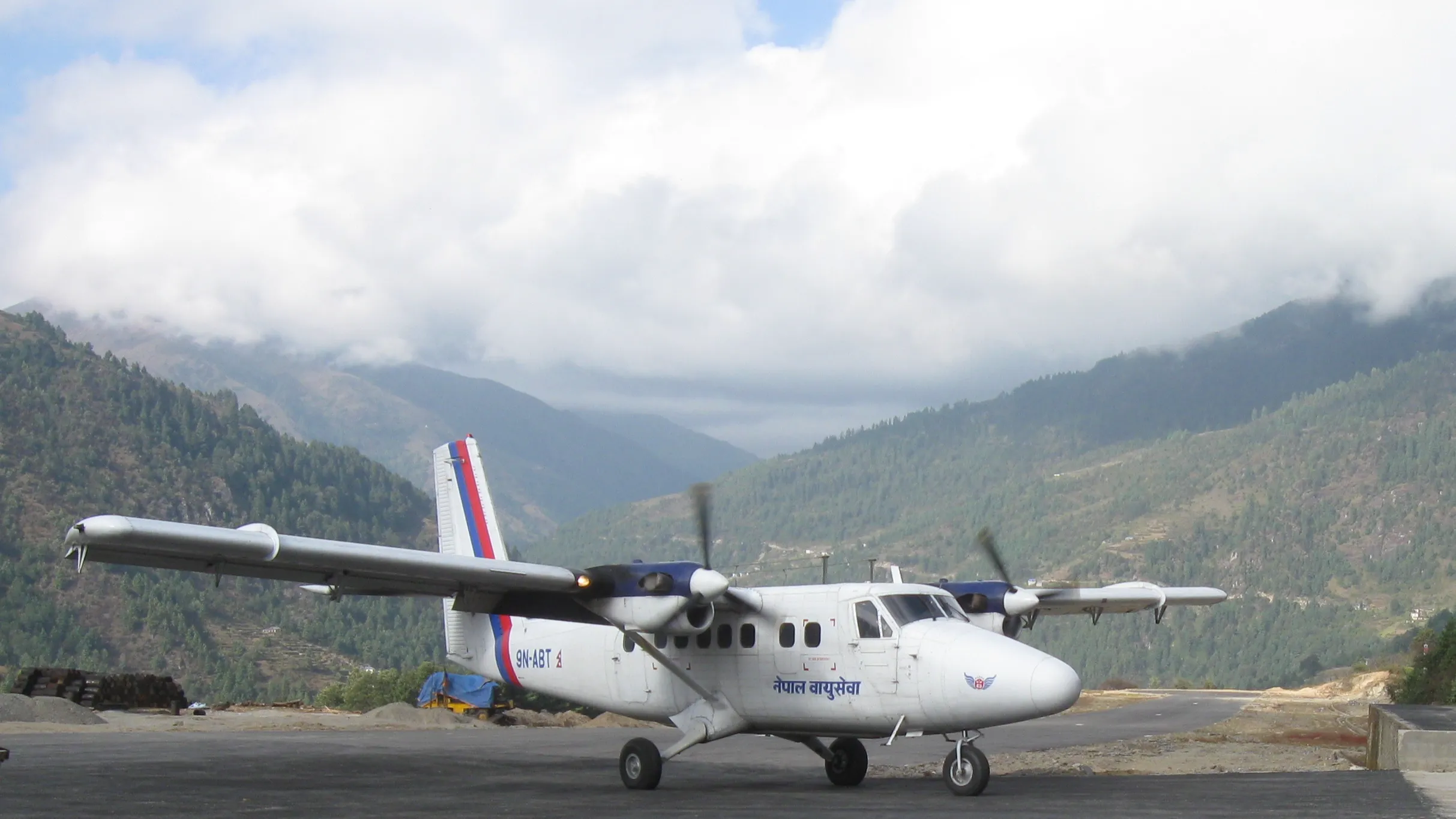
A De Havilland Canada DHC-6 Twin Otter operated by Nepal Airlines in Phaplu Airport. All flights diverted from Lukla due to weather (and other reasons) land in Phaplu. Among all the airports we have discussed so in this article, Phaplu is the only airport that can be accessed via road. Any person who wants to start their Everest Base Camp trek from Phaplu spends a number of days trekking to Lukla.
Phaplu Airport isn’t as congested as Lukla Airport.
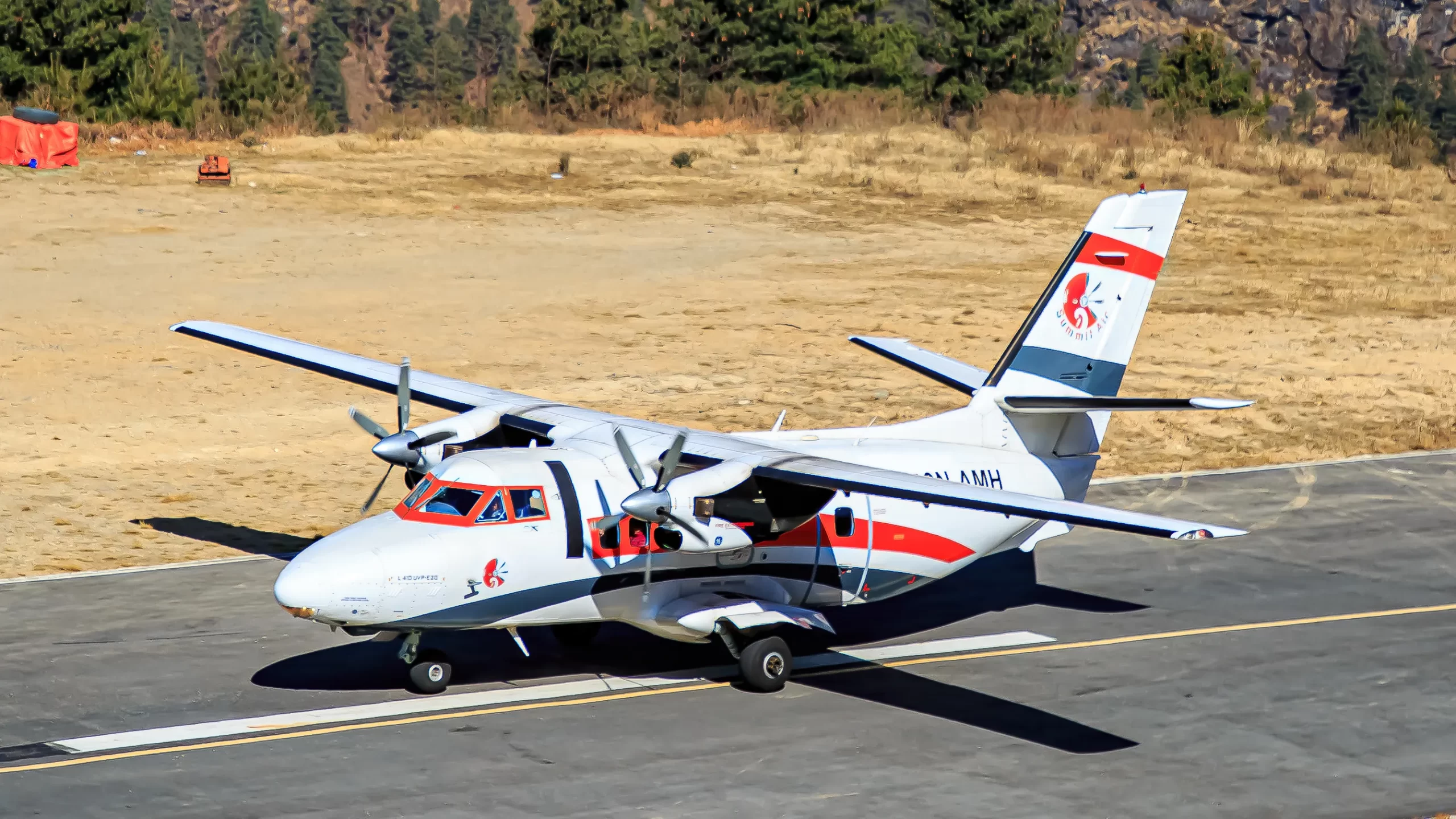
However, as the airport was undergoing expansion, Sir Edmund Hillary received the fateful news that the flight carrying his wife and daughter to Phaplu had crashed in Kathmandu. Investigation into the crash revealed that the pilot had forgotten to remove the aileron, highlighting the critical role played by the “Remove Before Flight’ tag used in aircraft:
Note: Despite the fact that Lukla is considered to be the most dangerous airport, Rabindra Dangol, a veteran pilot who trains pilots to fly to Lukla rates Phaplu to be trickier to operate in and out of rather than Lukla.
Kangel Danda Airport
Among all the airports we have discussed in this airport, Kangel Danda’s elevation of 2097 m (6880 ft) is the lowest. The airport started its operations on 27 March, 2003 and spans across an area of 68267.49 square meters. It would be fair to say that it is the most underutilized airport of all airports we have covered so far. The last passenger operations in this airport took place almost a decade ago.
Photo:Civil Aviation Authority of Nepal (CAAN)
Nepal Airlines and Tara Airlines were the only two carriers operating regular passenger flights to and from Kangel Danda Airport. However, the airport has remained largely dormant, with My Republica reporting that local residents have become increasingly disappointed by the lack of operations despite earlier optimism following a successful test flight.
The airport’s infrastructure has also deteriorated during its prolonged closure, with the control tower and perimeter structures reportedly falling into disrepair. The Thulung Dudhkoshi Rural Municipality said that despite repeated efforts to restart operations, its attempts had so far failed to produce a concrete outcome.
The prolonged inactivity has also raised questions about the large amounts of public money spent on airport infrastructure across Nepal. Govinda Raj Pokharel, a former vice-chairman of the National Planning Commission, criticized the construction of airports that are unable to generate enough revenue to cover their operating costs.
Pokharel argued that airport projects are often promoted as symbols of development because they appeal to local communities, but said some facilities have effectively become wasteful investments when they cannot sustain even their basic operating expenses.
In the year 2015 AD, the airport had managed to generate Rs 27,000.00 (US $ 200), while incurring expenses of Rs 1,223,238.01 (US $ 7,000). The next year, the airport had no income but had expenses close of US $ 10,000.
Kangel Danda lies around 20 kilometers away from Phaplu airport, in a much-abandoned state.


Leave a Reply