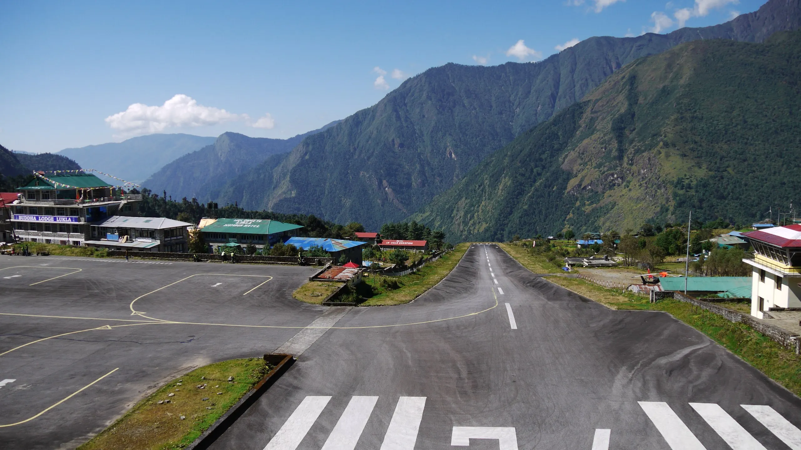
With an impressive airstrip situated 2,900 meters above sea level, Lukla Airport (LUA) is the highest functioning airport in Everest: one of the hiher ones might have had the epithet of rightly being called the most dangerous airport had it been able to survive the impossible test of posterity. Although harsh geographic circumstances and the lack of infrastructure at the airport enhance the likelihood of a failed landing or take-off at Lukla, Captain Rabindra Dangol who has been operating to and from the airport for more than two decades feels that what is often perceived as one of the most dangerous airports (Lukla) is one of the easiest STOLports in Nepal to operate in and out of.
Besides the perhaps unwarranted notoriety of being a lethal airport, one of the reasons Lukla has generated a lot of curiosity in the last few decades is because of the growing environmental concerns. Recently, a Glacial Lake Outburst Flood (GLOF) in Thame had induced stories about how the vibration of land due to excessive helicopter operations in Lukla had caused the flood. However, a cryosphere analyst reported to aviospace.org that said that there might be speculations that could be kept aside:
“I do not think that there is a lot of connection between GLOF and helicopter operations, especially considering that the GLOF happened in the off-season and Thame is not such a helicopter traffic-heavy area.”
Nonetheless, even before the turn of the century, Hillary himself was aware of the environmental consequences that started operating in Lukla had induced:
“ In building Lukla airfield we were partly to blame for the tremendous increase in the number of trekkers that visit the Khumbu, now exceeding 17,000 each year. Only 3,000 Sherpas are living in the region, but probably 20,000 porters and workers from lower altitudes carry loads into the Khumbu or work in the fields. This has put tremendous pressure on the forests, both to supply timber for many hotels and firewood for cooking and heating.”
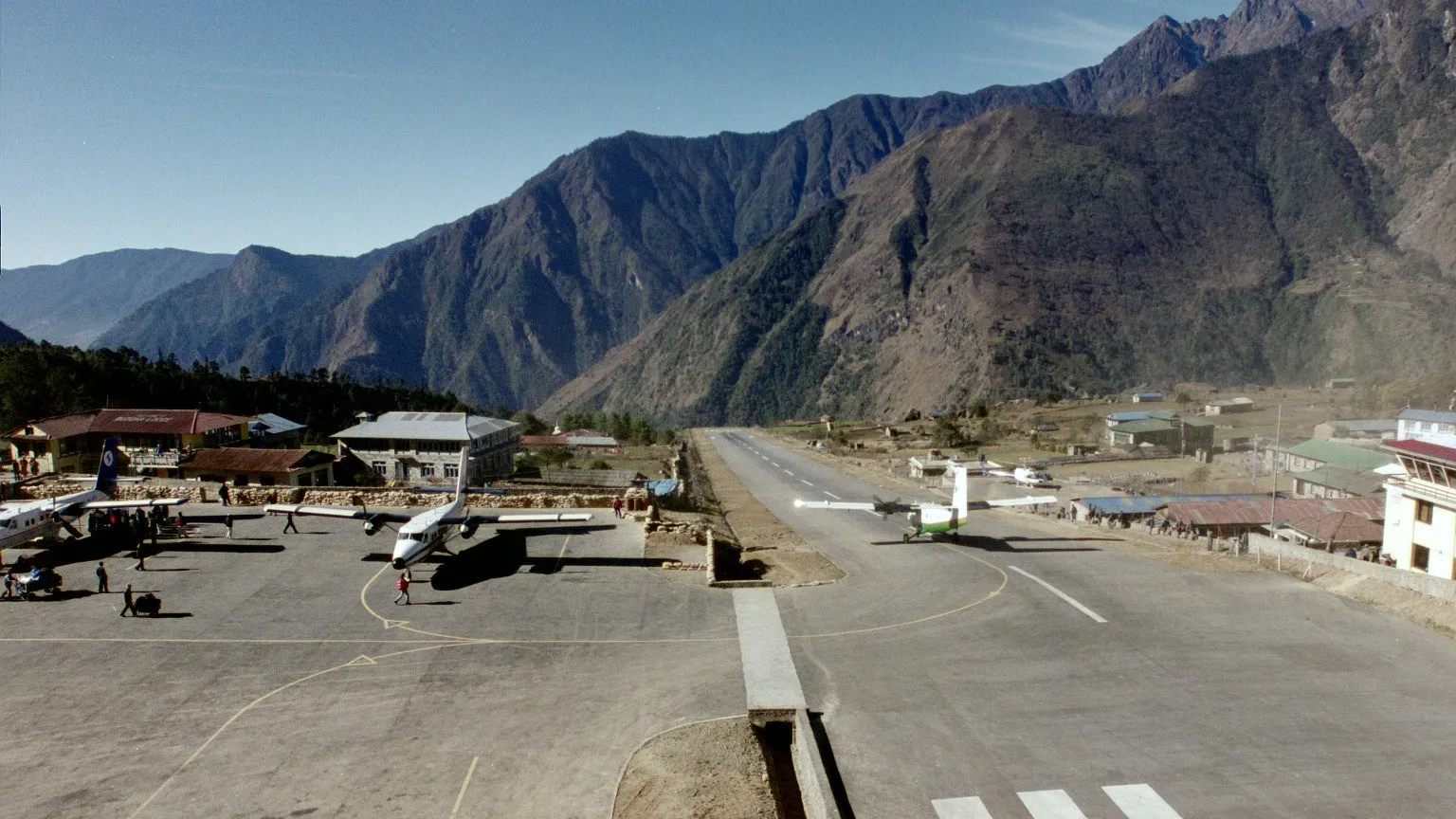
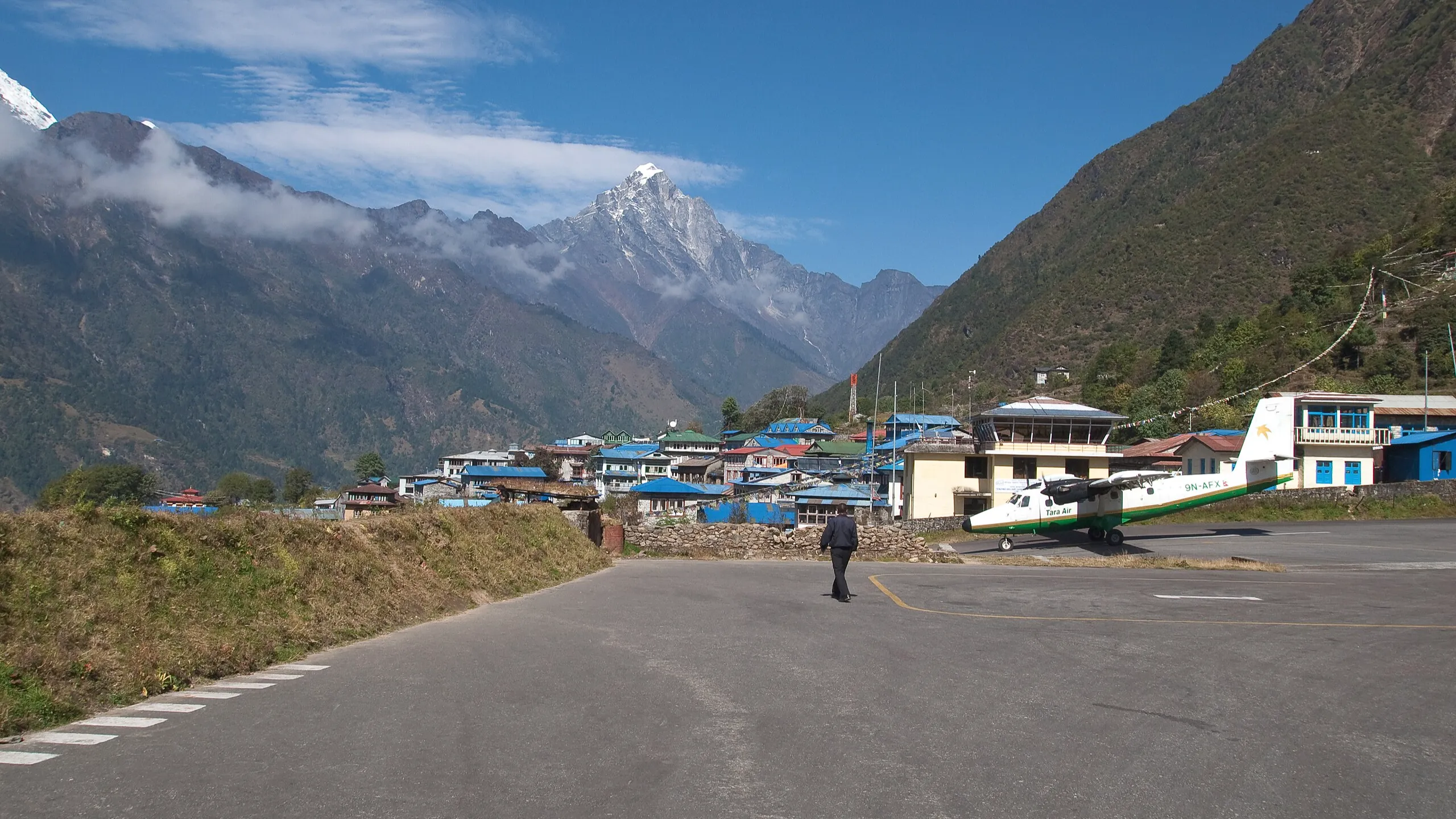
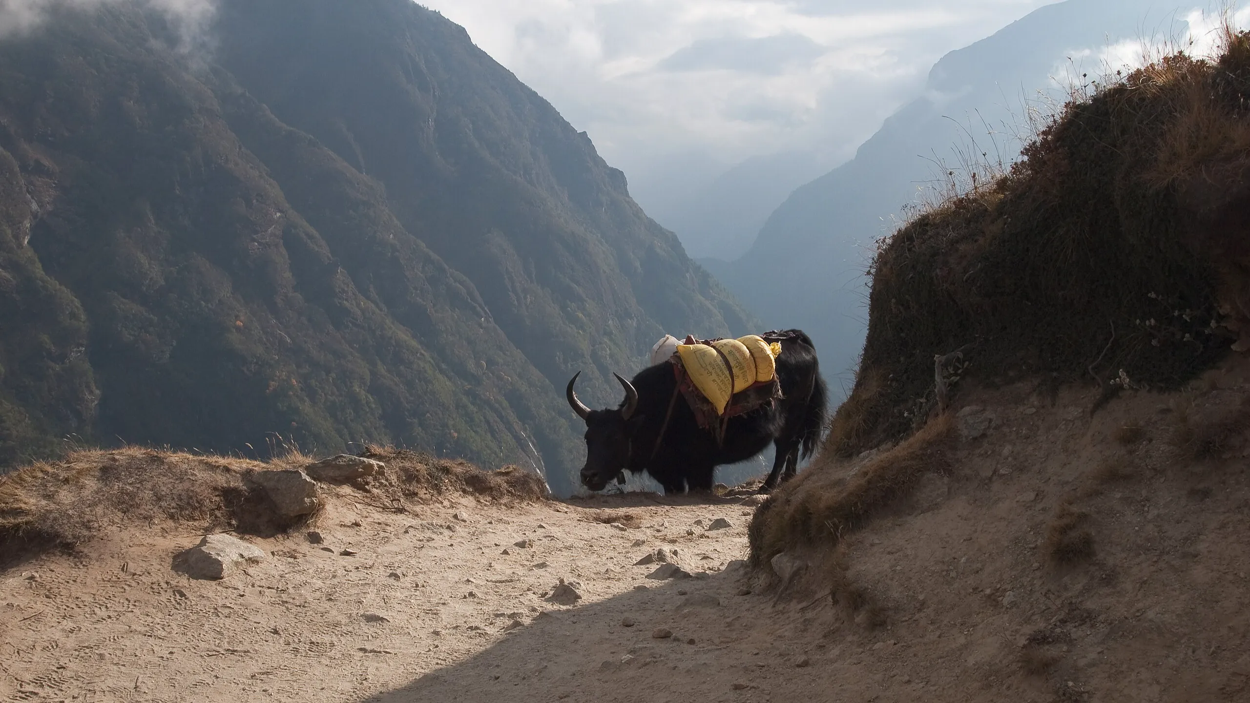
Given that thousands of people fly to Lukla (there were 31,636 aircraft movements in this region in 2018) each year, one has to wonder about the environmental angle of the airport (and the region that surrounds it). Let’s have some ecological perspectives on the airport.
Lukla Airport’s Construction didn’t involve destroying arable land
Lukla Airport was constructed without any mechanical equipment. Although Hillary had the idea that an airport could be constructed in Chaurikharka, the land was fertile and he was skeptical if locals would be willing to give up a fertile piece of land for the construction of an airport.
It was the locals of Lukla who came up to Hillary’s team and hinted at a patch where an airport could be constructed:
“..was approached by a group of farmers from the small village of Lukla, which was located in a small tributary valley at 9,000 feet. They had some land for sale and thought it would be suitable for an airfield. They even suggested that the wind always blew in the right direction! How hill people who knew nothing about airfields could possibly make this sort of judgement I do not know, but when we went up to Lukla we agreed that they were right. And best of all we wouldn’t be destroying a lot of arable land..”
further adding
“…One-third was in the rough pasture, one-third in heavy scrub, and the last third in terraced potato fields. It certainly wasn’t flat, the rise from bottom to top was over a hundred feet, but this wouldn’t be a problem to a STOL (short take-off or landing) aircraft.”
In the years years, people could dwell in and around the runway of Lukla Airport. A siren would blow when an aircraft was approaching nearby, giving time for people to clear the runway and make way for landing whichever aircraft was headed to the airport. This was also the case when the first aircraft landed there, said Sir Edmund:
“ It was the sharp ears of a Sherpa who first heard the aircraft coming up the valley and we hastily removed all the children and cows off the runway. I admit to feeling rather tense as the Pilatus Porter circled overhead.”

Photo: BBLBobby | Wikimedia Commons
The picture above is a testament to this fact. However, the first aircraft to land in Lukla was most probably a helicopter as Hillary recalled that a Russian helicopter had arrived at the airport when the construction was halfway through. The construction of the airport was done without any mechanical aid:
“ …..recruited more than a hundred Sherpas and with kukris and mattocks they cut down the bush, dug out the roots and leveled the land. The terraced potato fields required a vast amount of earth moving, and there were some huge boulders that we were unable to lift. Instead, we used the method pioneered by the Sherpas on the Mingbo airfield. We dug huge holes and then rolled the rocks into them and covered them up with earth.”
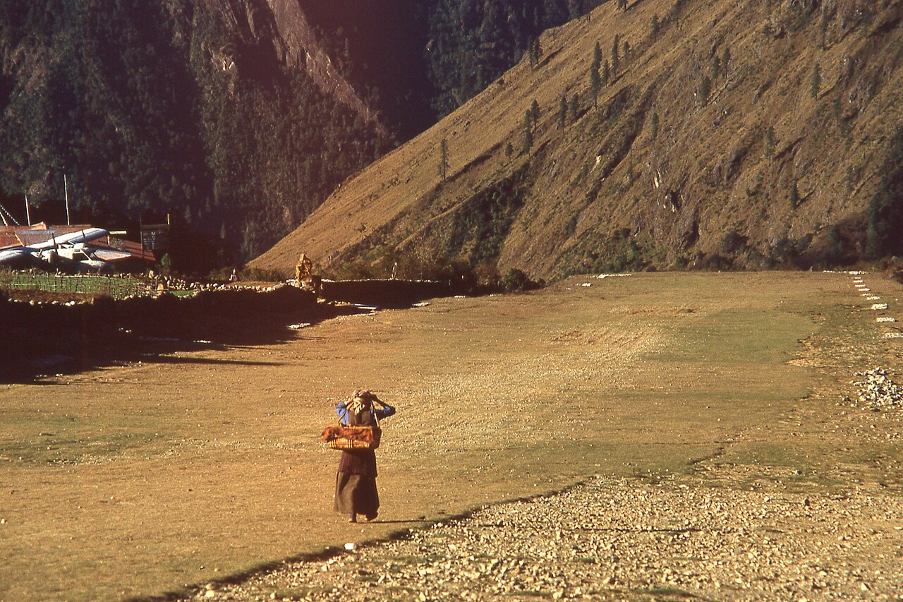
Photo: BBLBobby | Wikimedia Commons
Even the leveling of the airport was done with hundreds of Sherpas who stomped their foot after Sir Edmund had brought some local liquor:
“ We purchased large quantities of change and then employed fifty Sherpas to link arms and stamp their way backward and forwards across the field. A very festive mood prevailed and the earth received a most resounding thumping. Two days of this rather reduced the Sherpas’ enthusiasm for the dance but produced a firm and smooth surface for our airfield.”
Here are a few events in the airport’s history:
| Date | Milestone |
| 1963 A.D | The airport was built |
| 1964 A.D | The first recorded flight using a small Pilatus Porter aircraft. |
| October 15th, 1973 A.D | Royal Nepal Airlines DHC-6 Twin Otter 300 crashed, and none of the three crew and passengers were hurt. |
| 2001 A.D | The runway was paved for the first time. |
| 2008 A.D | The airport was officially renamed as Tenzing-Hillary Airport. |
| September 26, 2013 A.D | First recorded helicopter crash, fortunately no deaths. |
| April 15, 2019 A.D | Aircraft crashed with two stationary helicopters while attempting to take off, 3 deaths. |
Lukla Airport: Myths vs Facts of “the most dangerous airport”
Environmental impacts of construction of Lukla Airport
Lukla’s airport has brought in an increase in the regional economy. Still, its role has been highlighted as a subject of environmental impact too. Here are some of the key environmental challenges associated with the airport’s construction and operation:
There are Virtually no Habitat Fragmentation and Loss
The construction of Lukla Airport hasn’t led to any loss of habitat of wildlife, as might have been the case with the construction of the world’s emptiest airport- the Mattala Rajapaksa Airport.
The word Lukla is roughly translated as “an abode for sheep”, though it would be difficult to find a sheep in the region anymore However, the paucity of sheep in Lukla these days isn’t due to habitat fragmentation or losses, says Chewang Jangbu, a resident of Lukla.
Habitat fragmentation and loss is an emerging topic due to the building of the Nijgadh Airport in the Terai Arc Landscape. Roshani Giri reported in the Farsight that building an airport in Nijgadh would “wreak havoc on its biodiversity”:
“ The Terai Arc Landscape (TAL) is a corridor for not only elephants but also tigers. It is a connecting area for animals in the Chitwan- Parsa- Valmiki area. TAL is very essential for the life of tigers, only 9 out of 235 tigers were found outside TAL in 2018. Fragmentation of the habitat will be very damaging to the ecology and the biodiversity but it also goes against Nepal’s tiger conservation efforts.”
The findings mentioned pertain to the EIA report on the construction of Nijgadh Airport. However, no accessible EIA reports exist for the construction of Lukla Airport. As a result, there has been no comprehensive study on the habitat fragmentation and environmental loss caused by the development of Lukla Airport. One has to note that the airport was constructed in a patch of land that wasn’t arable. No machinery was used in its construction and extensive facilities that would have impacted the environment of the region have not been built.
How big is Noise Pollution in Lukla?
One might assume that aircraft noise could have detrimental effects on animals such as the bears of the Himalayan region as well as leopards that typically live in snow. This is especially true for aircraft that fly in the Sagarmatha National Park region. Disturbances to animals in the national park region are cited as one of the reasons why helicopters don’t fly to the top of Mount Everest.
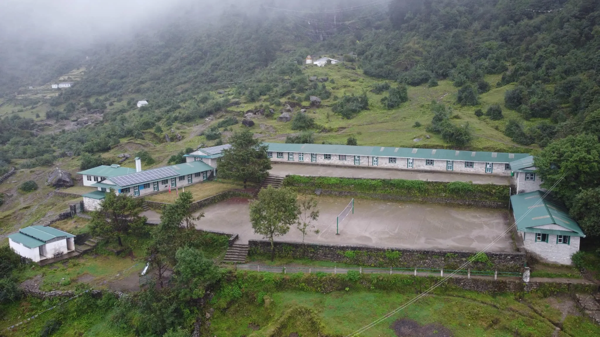
If you are around the airport area during the busy trekking season, the noise of airplane movement coupled with the operations of helicopters can make Lukla noisy. Such was the case when the author was conducting examinations of students from Khumjung Secondary School in Lukla’s Primary School. One of the teachers in Lukla Airport was also in agreement.
However, the lodges around the Lukla area have sturdy isolation, numbing whatever impact the noise of planes might have. Besides, the region’s STOL aircraft are considerably quieter than non-STOL aircraft operating in Kathmandu airport. If the airport saw aircraft that were as remote as polluting (in terms of noise) as Concorde, maybe noise pollution would have been off the charts but this is not the case.
Air Pollution
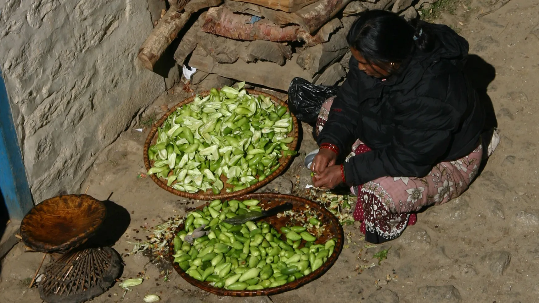
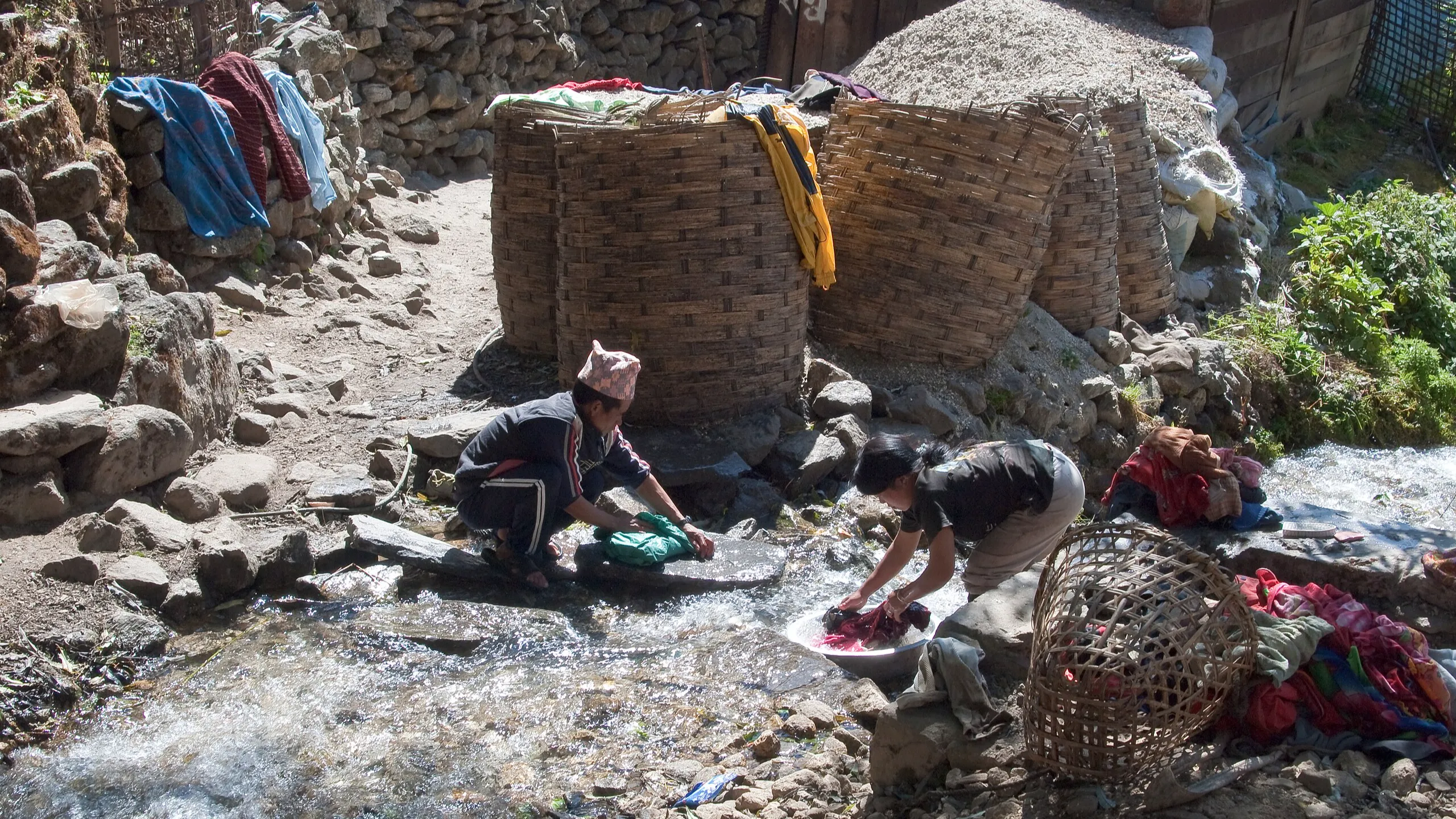
The increase in greenhouse gas and particulate matter emissions could be a concern for air pollution in the area. Lukla Airport banned the import of plastic-bottled beverages in Lukla in 2021. But despite this, the area has been known to import such beverages into the region, making the problem of plastic something that will compound in the future.
Presently, a relatively healthy amount of plastic that enters the Khumbu region through Lukla is burned as burning wastes is a common practice in the region. This was a practice the author observed when he spent a year in the region as a teacher at Khumjung Secondary School. Dawa Tsering Sherpa, a resident of Khumjung talked about the scale of pollution:
“ Every household in the region has its waste such as paper or small shards of plastic (bottles). It is the onus of individual households to burn their waste. Most houses in the region also have chimneys. Such wastes might also serve as fodder for chimneys which warms the lodges where people stay, though plastic generally doesn’t go into the chimneys as the people in the region believe that the Gods (protecting the Khumbu region) would get angry if plastic was burnt that way ”
.jpg)
Water Pollution
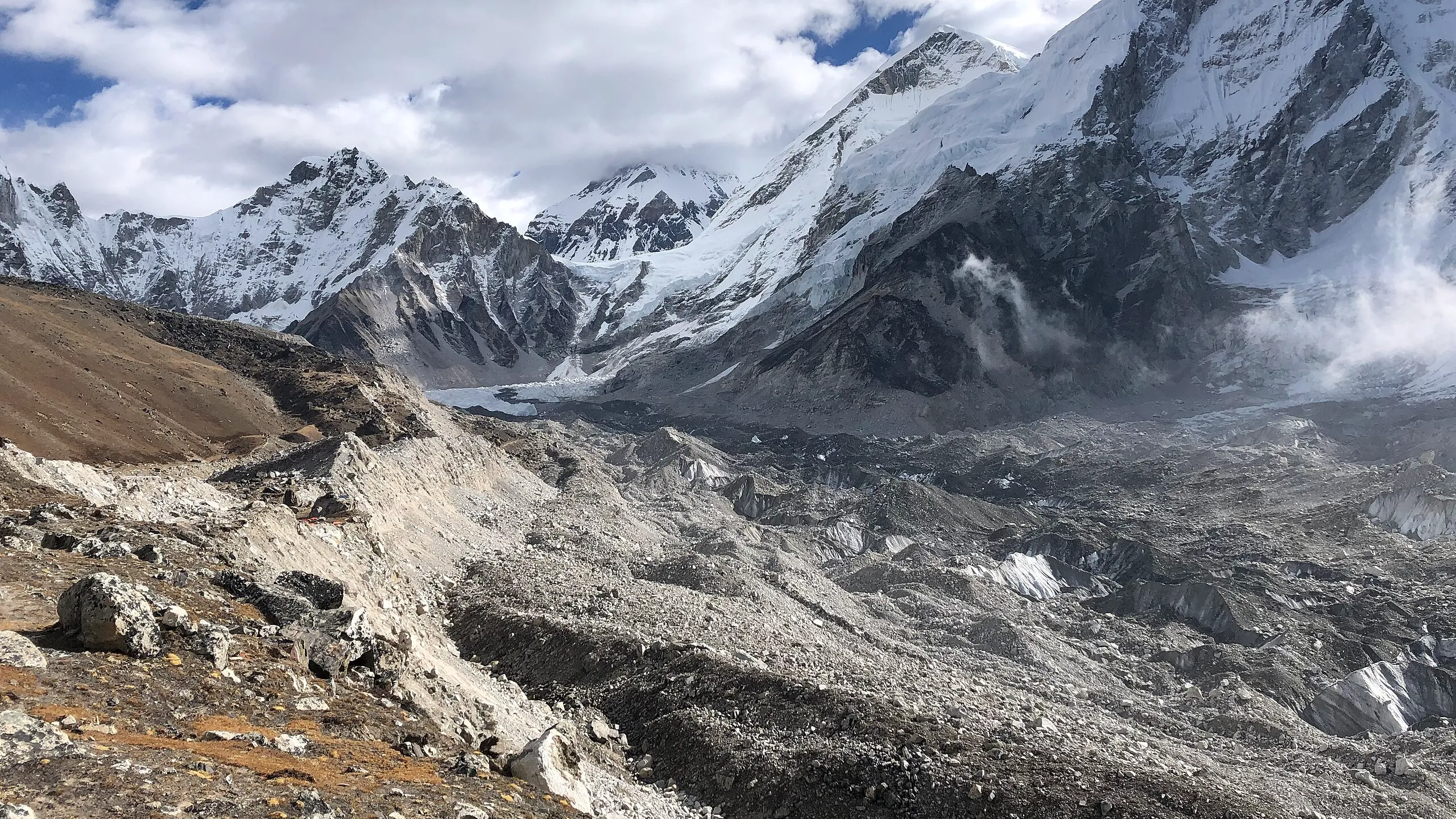
Data analyzed from the National Geographic and National Geographic and Rolex Perpetual Planet Everest expedition revealed that there were hydrological problems in the Everest region were a subject of major concern, as the research reported the following:
“ Our team installed a network of five automatic weather stations (AWSs) to investigate water resources and temperature in the context of climate change and to improve climber safety… Observations indicate exceptionally high values of incoming solar radiation that can cause surface melting at over 8000 m even with ambient air temperatures well below freezing where melting and high rainfall may lead to landslides and flooding… This widespread melt may mobilize PFAS, microplastics, and other hazardous substances in the Everest ecosystem”
Glacial Lake Outburst Flood (GLOF), and other problems related to water pollution were also worth looking at, the study reported:
“ For example, both outburst flooding and the corollary or glacier wastage can affect water and water infrastructure availability and resilience. Landslides, avalanches, and blizzards present challenges to the physical safety of residents and supporting infrastructure. Polluted meltwater limits the available water for use in agriculture and by the resident populations. At the confluence of these hazards, Mt. Everest and the Khumbu watershed present unique challenges from a significant inflow of tourists, trekkers, and local visitors. The health, safety, and livelihoods of residents and visitors alike are tied to this unique mountain system’s stability.”
Photo: Karan Bhatta | aviospace.org
Climate Change and the Himalayan Ecosystem: A Problem Wider Than Lukla Airport
The Himalayan region is often referred to as the Third Pole (IUCN 2021) owing to its enormous ice and snow deposits but currently, it is grappling with the impacts of climate change. ‘The Himalayas’ are often referred to as ‘The Water Tower of Asia’ because eight of the ten most populous rivers of Asia originate here. Therefore, billions of lives, which are dependent on the waters from the Himalayas, would be at risk if climate change is a global problem that impacts all areas of the world.
Let’s focus on the impacts of climate change on the Himalayan region:
Accelerated Glacier Melt in the Himalayas
Currently, the rate at which the Himalayan glaciers are diminishing is unprecedented, which endangers the water availability of the Ganges, Indus, and Brahmaputra river systems in the long term. These rivers are the lifelines of billions of individuals providing them with farming, domestic as well as hydropower needs. The Himalayan and Tibetan Plateau areas have warmed more quickly in recent decades than they did in the previous century.
A study conducted by the Climate Research Unit demonstrated that, in comparison to 1901–1960, the average maximum temperature (T max) increased by 0.5 °C between 1971 and 2005. According to a research paper which analyzes effects of climate change in twentieth-century India, throughout the 102 years (1901–2003), there was an average rise of 0.9 °C in the western Indian Himalayas. They discovered that rising temperatures after 1972 are mostly to blame for this tendency.
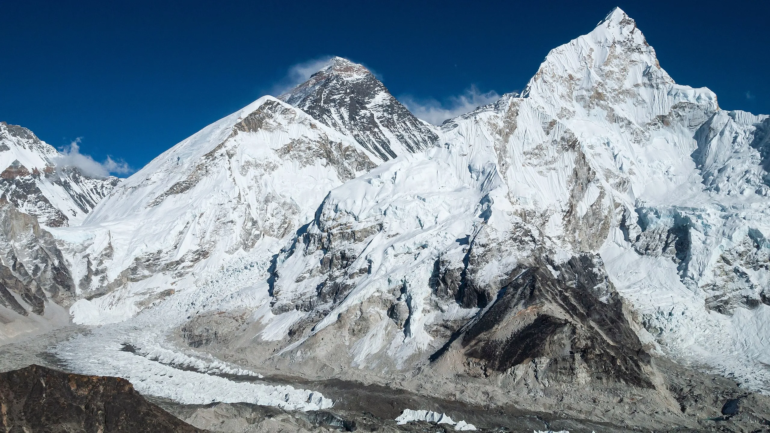
Photo: Vyacheslav Argenberg | Wikimedia Commons
A warming trend was also discovered by Dimri and Dash (2012) across the western Indian Himalayas, with the largest rise in temperature being recorded between 1.1 and 2.5 °C. According to Izabella Koziell, the Deputy Director of International Centre for Integrated Mountain Development (ICIMOD), such rise in temperatures can be devastating:
“These challenges and risks are going to get greater. We are heading towards 2 degrees or even 2.5, and at 3 degrees there will be no glaciers left at the Himalayan Hindu Kush region. And can you just imagine the scale of the impact of the melting of the glaciers over just the next 70 years will have on the billions of people who rely on the waters that come from the glaciers of the region…”

_and_grazing_horses.jpg)
Shifts in Biodiversity in the mountains of Nepal and beyond
Changes in floral biodiversity
The biodiversity of the Himalayan Mountains is precarious and climate change threatens to decrease the populations of species, cause habitat loss, and quite possibly – given the vulnerability of Nepal in terms of climate – their extinction.
In Nepal and the neighboring HKH area, the Himalayan rhododendron has been seen to blossom both advanced and delayed, whereas in northeast China, it has advanced by one day annually. The treeline has also shifted as a result of altered snowfall patterns brought on by warming temperatures.
In India’s western Himalayan areas, several plant species, including the Himalayan pine, have moved uphill at a pace of 11 to 54 meters per ten years, according to downtoearth.org. The same publication also reported that the growth of invasive plant species by as much as 50%.
Changes in faunal biodiversity
By 2080, habitats for snow leopards in Bhutan, Nepal, India, and Myanmar are probably going to be impacted by the upward shift of the snowline. Everest region is now home to mosquitoes, and among other abruptions in the faunal biodiversity include:
“Among insects, the Apollo butterfly, endemic to China, has seen a decline in population. In the Eastern Himalayas, decline in monotonic ants and caterpillar fungus has been observed across the region. In Pakistan, 14 species of butterflies known to dwell in the Murree hills and neighboring areas are reported to have disappeared. forecast habitat for Himalayan grey langur to spring by 60 per cent in 2050. Tibetan brown bears are expected to lose habitats by 34 per cent, while blue sheep is likely to experience it by 56-58 per cent. “
Agricultural Disruptions
The Himalayan microclimates are being impacted by climate change, which affects crop yield, productivity, and appropriateness. Let’s take a look at a few numbers that reflect the wider scale of agricultural disruptions around the world:
- By the middle of the twenty-first century, Central and South Asia’s crop yields are predicted to drop by 30%, which will reduce income and food availability and ultimately contribute to food insecurity.
- In Europe, for instance, the projected grain maize decline in the EU will be between 1% and 22%.
- In addition, wheat production is expected to drop up to 49% by 2050 in Southern Europe.
Climate change has reportedly resulted in lower crop production and farm income for farmers across the Hindu Kush Himalayas
Increased Natural Hazards
Glacial flooding is on the rise as a result of the melting of glaciers which also gives rise to significant amounts of glacial lakes that are prone to bursting. Moreover, severe weather conditions as well as landslides are also on the rise as well.

Altitude Air Helicopter Skids on Snow and Crashes in the Everest region of Nepal (Lobuche)
The world’s highest garbage dump- Sagarmatha?
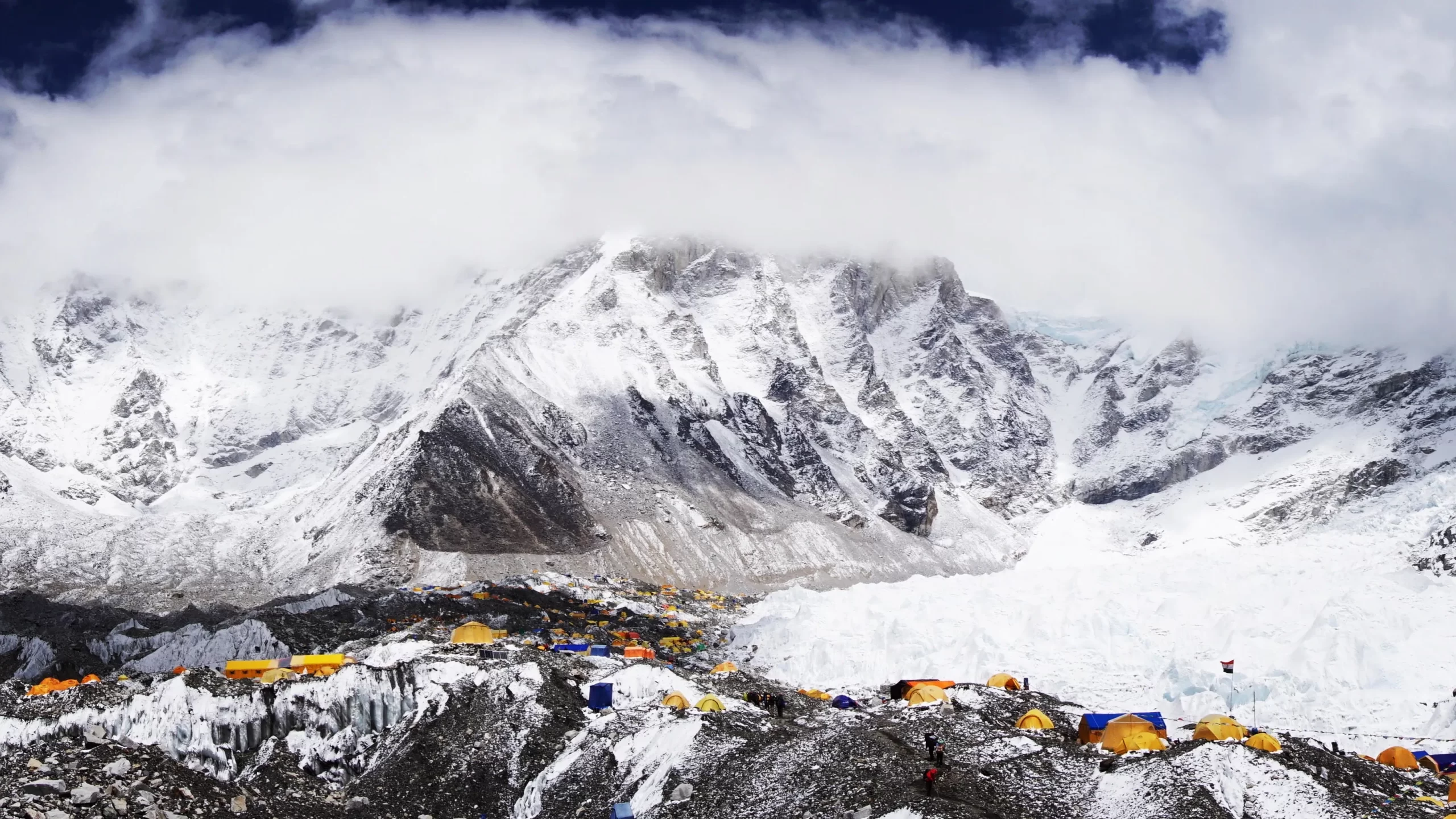
Declared a World Heritage Site in 1979, the Sagarmatha National Park, sees tens of thousands of tourists each year. If the growth of tourists isn’t managed well, it can affect the park’s fragile environment. National Geographic reported that the total amount of waste generated by each person scaling Everest is around 8 kg per person. A majority of this goes to the mountains.
The emptied oxygen cans, the unused tents, and the unused food, the dirty human excrement all lay strewn and showed no prospect of rescue. Even with the advanced sanitation systems available in Base Camp such as tented toilets and waste collection bins, the extent to which one can go beyond that is still a problem.
It was recently declared that the climbers would need to bring back their poop from Eevrest, as estimates that there were “three tonnes of human excrement between camp one at the bottom of Everest and camp four, towards the summit.” prompted a call for climbers to carry their poop back.
Two types of trash
Alton Byers, a mountain geologist at the Institute for Arctic and Alpine Research at the University of Colorado Boulder, said there are two types of trash that one can find in the Everest region:
The first type
The garbage that is left behind by the climbers is also very significant. The greatest issue linked to Mount Everest is litter which has the greatest presence as it is generated at the foot of the mountain and the summits. Sagarmatha Pollution Control Committee (SPCC), an operating and newly created non-profit organization, has this duty regarding the issue at hand.
Some of the efforts of SPCC to keep the Khumbu region clean include:
- Installation of about 70 bins near the routes and also conducts door-to-door collection in major settlements.
- Collaborating with nepal Mountaineering Association (NMA) toward off illegal climbers and monitoring garbage in 12 peaks (Island peak, Lobuche peak, Kusum Kangru, Kongde, Cholatse, Kyajo Ri, Nirekha, Ombigacho, ABI, Lobuche West, Khongmatse and Mera) in Khumbu.
- Initiation of “Carry Me Back Project” which helped transport semi-processed recyclable wastes, such as tins, PET bottles, and cans from Khumbu to Kathmandu, where it was recycled.
The second type
Some of the environmental challenges in the Khumbu region relate to the waste management practices among the lodges and the activities within climbing sections. The burning of waste and garbage is commonly placed in 25 to 100 square meters pits, many of which could be placed in hundreds of such pits. These contain tens of thousands of tons of waste mainly including plastics, aluminum cans, glass bottles, and paper bags. However, waste disposed of this way is also released with high levels of toxic gas since it decomposes, on the other hand, the soil waste turns into contaminating water.
Another concern is the proper disposal of human feces and its outcomes in society. Many people from the local communities assist the people who have waste for recycling at Everest Base Camp and take them to dump grounds. However, most of it gets colored and flows downstream during the monsoon time, hence impeding water sources.
This contamination results in health-related disorders among visitors that include the disposal of over 5,400 kilograms or twelve thousand pounds of human waste from the Base Camp’s periphery. No effective screening leads to the problem getting worse, and people might have their health in a region at risk because of an active climbers’ group.
Possible solutions
Let’s look at a few possible solutions to solving the problems of
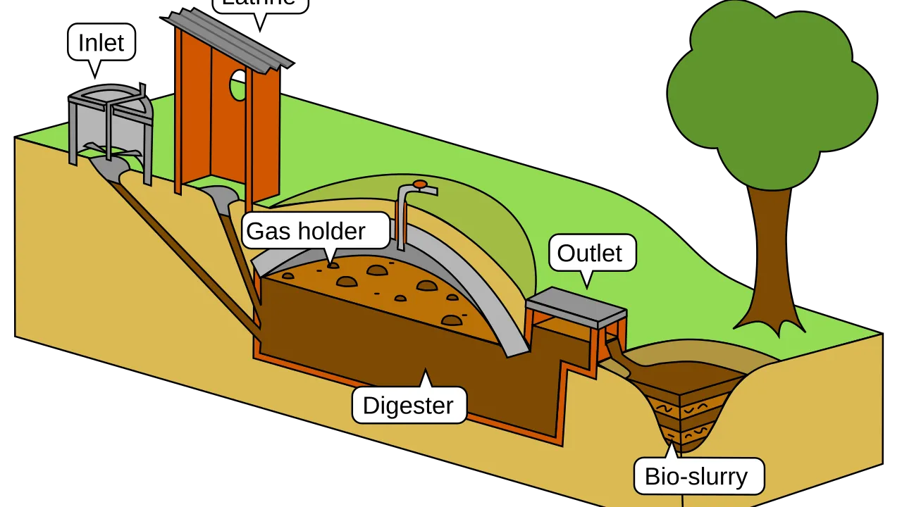
- Mount Everest Biogas Project initiated at Gorak Shep – the final village before the Base camp – aims to “eliminate the annual dumping of 26,000 pounds of solid human waste” in the region. The energy generated could be used to power Gorak Shep.
- A project named “Sagarmatha Next” is aimed at tackling pollution through art as artists are converting waste to products. You can find the details of these artworks in this link.
After Sir Hillary’s efforts to open Lukla Airport, the place got a lot of traction, and put some environmental strains on the region. As a result, he initiated tree plantation, as he wrote in his book:
“….we have now planted out more than a million seedlings. Initially we enclosed extensive areas of steep barren hillsides with rock walls and filled them with seedlings, but at this high altitude growth was very slow. Now suddenly in the last few years the trees have shot ahead and most are three feet high, some even ten feet high. Growing trees is a very long-term business, but at last we are seeing signs of real improvement.”
Nepal has been able to increase its forested area, with research claiming “increase of approximately 2,865 square kilometers over 16 years reflects a steady growth in forested areas. The most significant leap in forest cover analysis is observed between 2000 and 2010, where the forested area expands to 69,311 square kilometers.”
But as climate change is a supranational problem, solving the climate crisis that looms close to the Himalayan region that surrounds the Lukla Airport will require an orchestrated effort that spans across the globe. Though the efforts of Nepal and the Khumbu region have been superb and aims at preserving the pristine habitat of the region, adoption of Sustainable Aviation Fuel among other measures are what Lukla is in need of.