Syangboche Airport (SYH) is located at an altitude of 3748 m./12293 ft and lies in Khumjung Municipality of Solukhumbu District, the same district where the supposed most dangerous airport in the world – Lukla Airport lies. However, the airstrip is not currently in operation. Horses in Syangboche graze around the area surrounding the airport, and when the author was working as a faculty of Khumjung econdary School, it served as his favorite spot for a morning walk.
Table 1: General Information
| Field | Details |
|---|---|
| Name | Syangboche Airport |
| Location Indicator (ICAO) | VNSB |
| IATA Code | SYH |
| Aerodrome Reference Code | 1B |
| Aerodrome Reference Point | 27°48′37″N / 86°42′43″E |
| Province / District | Province No. 1 (Solukhumbu) |
| Distance and Direction from City | Near Namche Bazaar |
| Elevation | 3,748 m / 12,293 ft |
| Contact (AFS) | VNSBYDYX |
| Status | Not in Operation |
| Land Area | Approx. 54,434.91 m² |
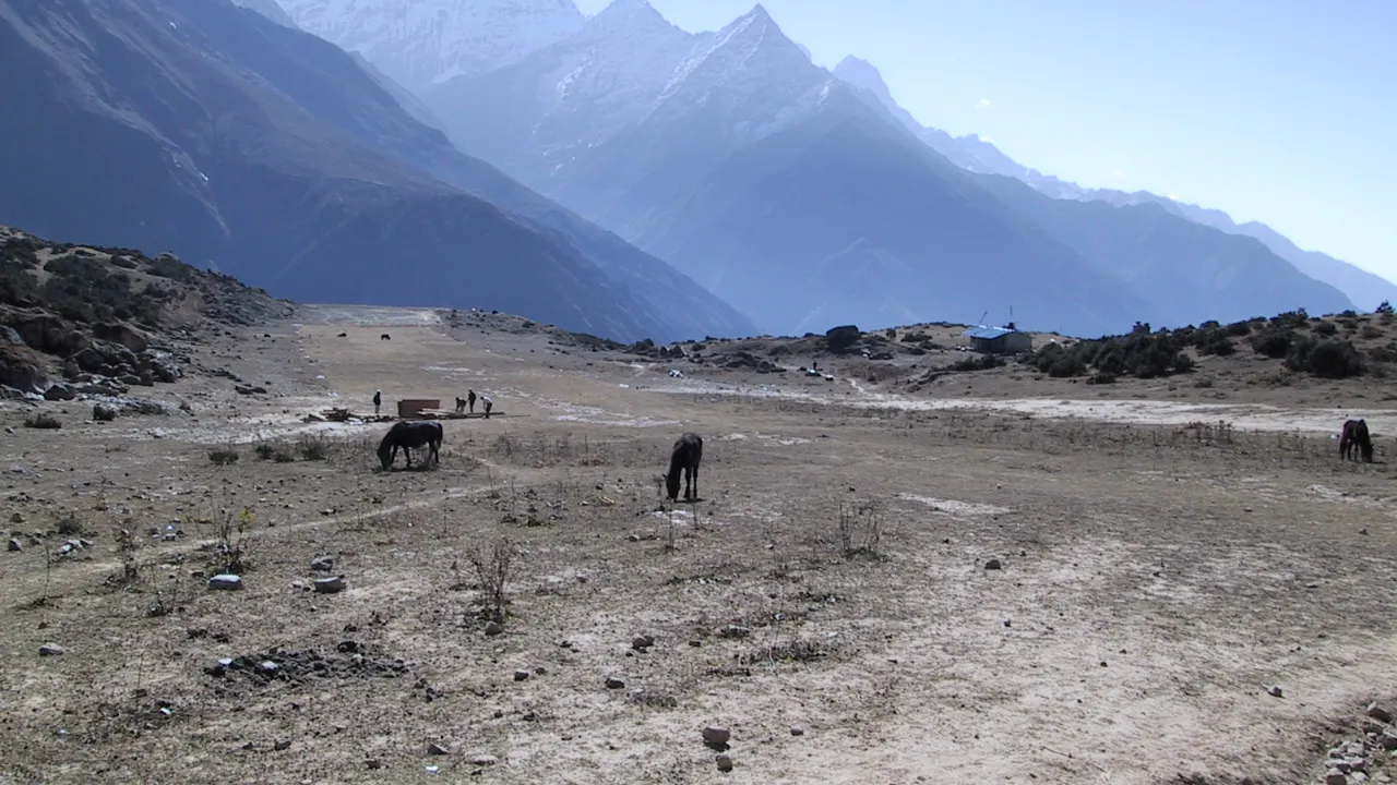
Photo: Ivan G. Somlai
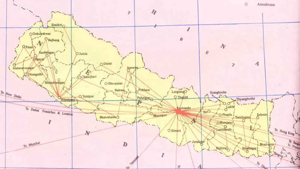
Where is Syangboche Airport Located?
Note that Syangboche Airport lies very close to Khumjung School- the first school that was built by Sir Edmund Hillary in the Khumbu region. Incidentally, the materials for building this school were carried to Khumjung from another airport that is higher than Lukla-the Mingbo Airstrip, which isn’t functional, though is a captivating one. You can read about it in our guide below.
You can see two pedestrians in the runway of the airport. Syangboche’s runway has never been paved. It covers an area of 54435.18 square meters and is devoid of re-fueling facilities. Sir Edmund Hillary had flown to this airport from Phaplu (another place that houses an airport in Solukhumbu) when he heard the news that his son was injured in Ama Dablam during an expedition. In his own words, Sir Hillary said:
“Desperately, I asked the pilot if he’d fly me to Syangboche airfield and he generously agreed, in twenty minutes covering a four-day walk.”
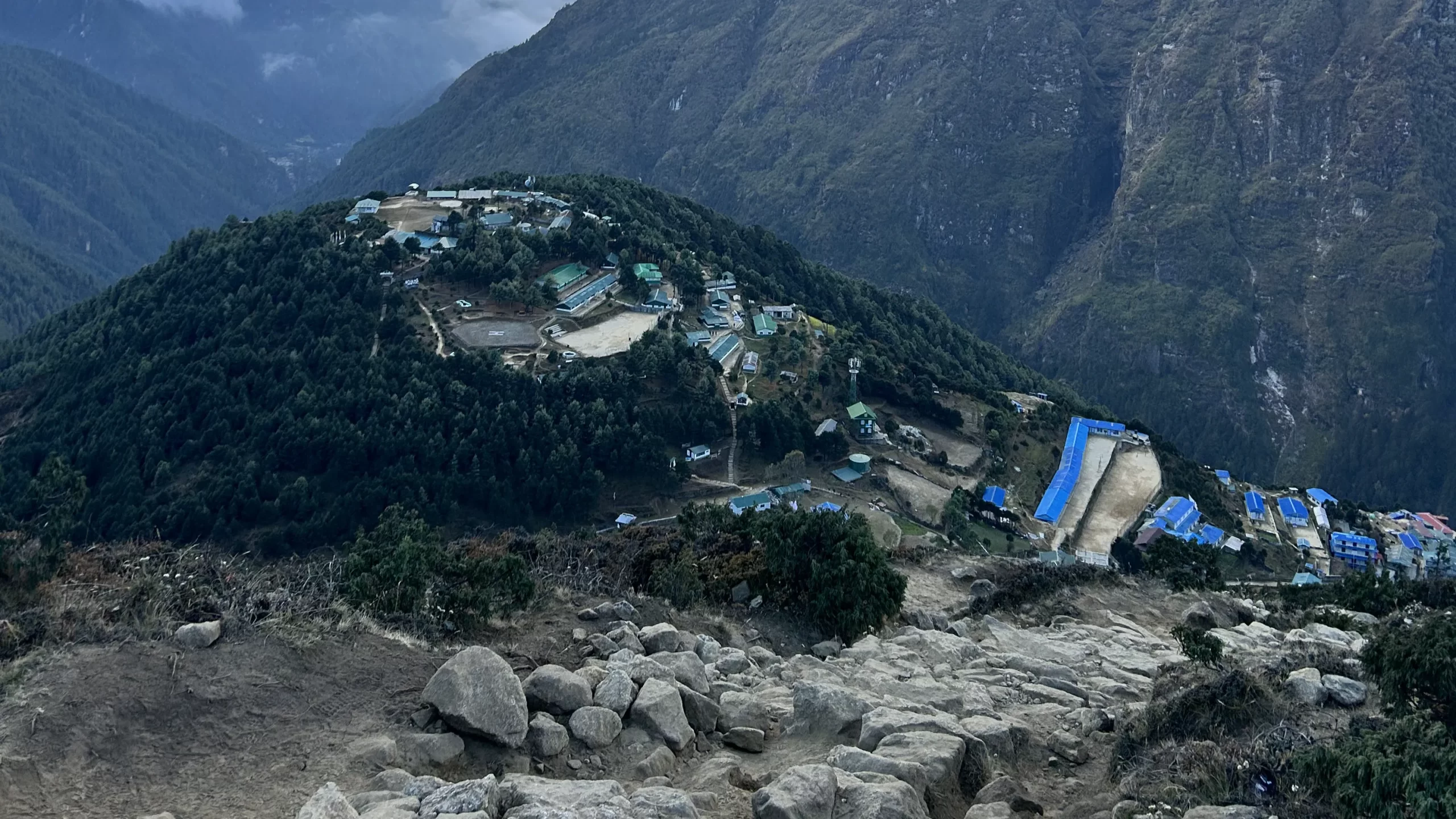
The following is a view of the famed village of Namche from the outskirts of Syangboche airport. People generally trek for two days to get to Namche from Lukla Airport. From Namche, a strenuous uphill trek of two hours takes you to Syangboche airport. One of the helipads in Namche Bazar is visible in the picture above.
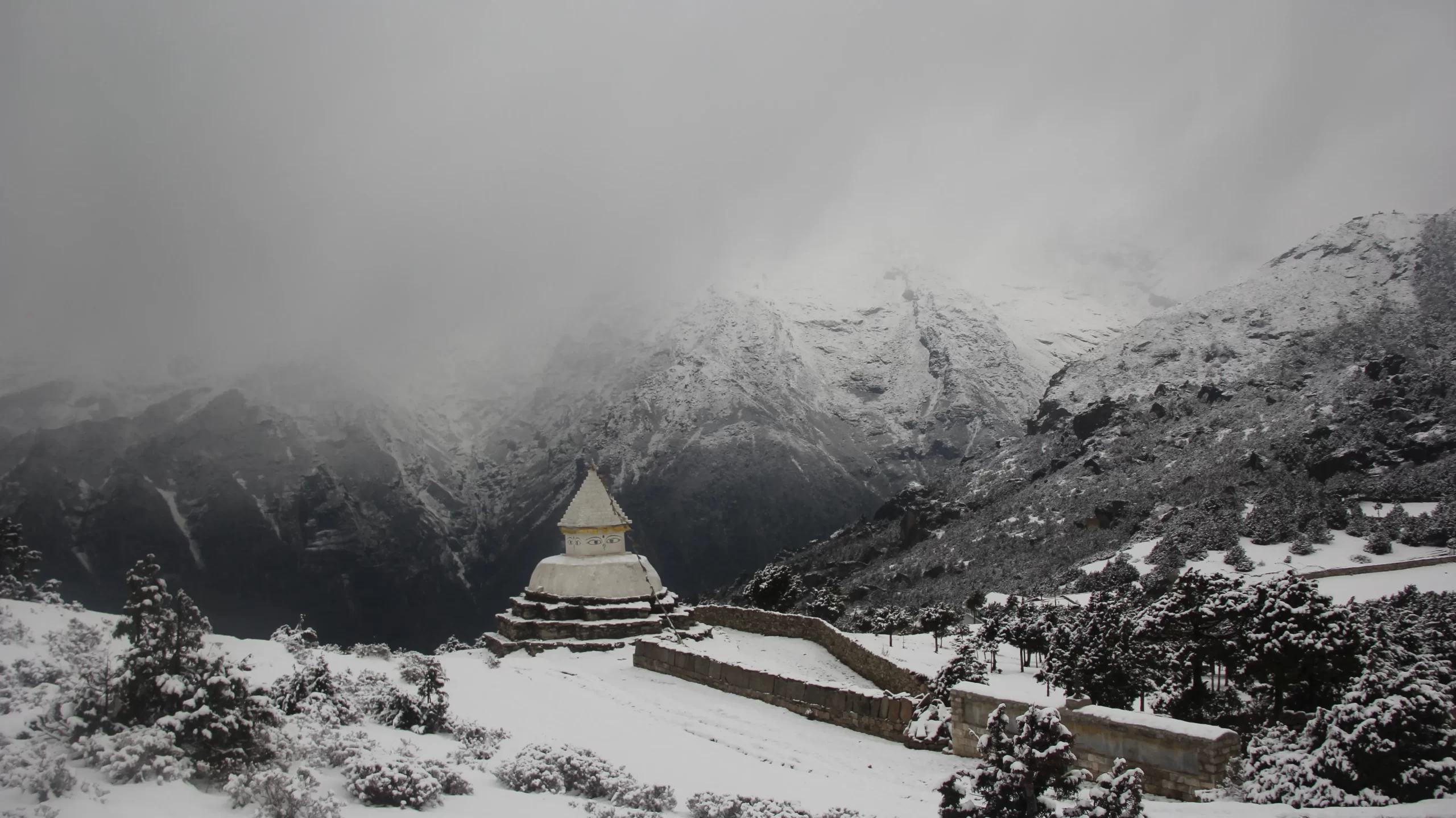
The other way to approach Syangboche, albeit descnding from a higher altitude is to get to it from Khumjung. As you approach this forgotten airfied from Khumjung, you will come across a remarkable chhorten (a stupa) that appears to bask against the majesty of the mountains that surround it. The following is the photo of the chhorten during snowy weather:
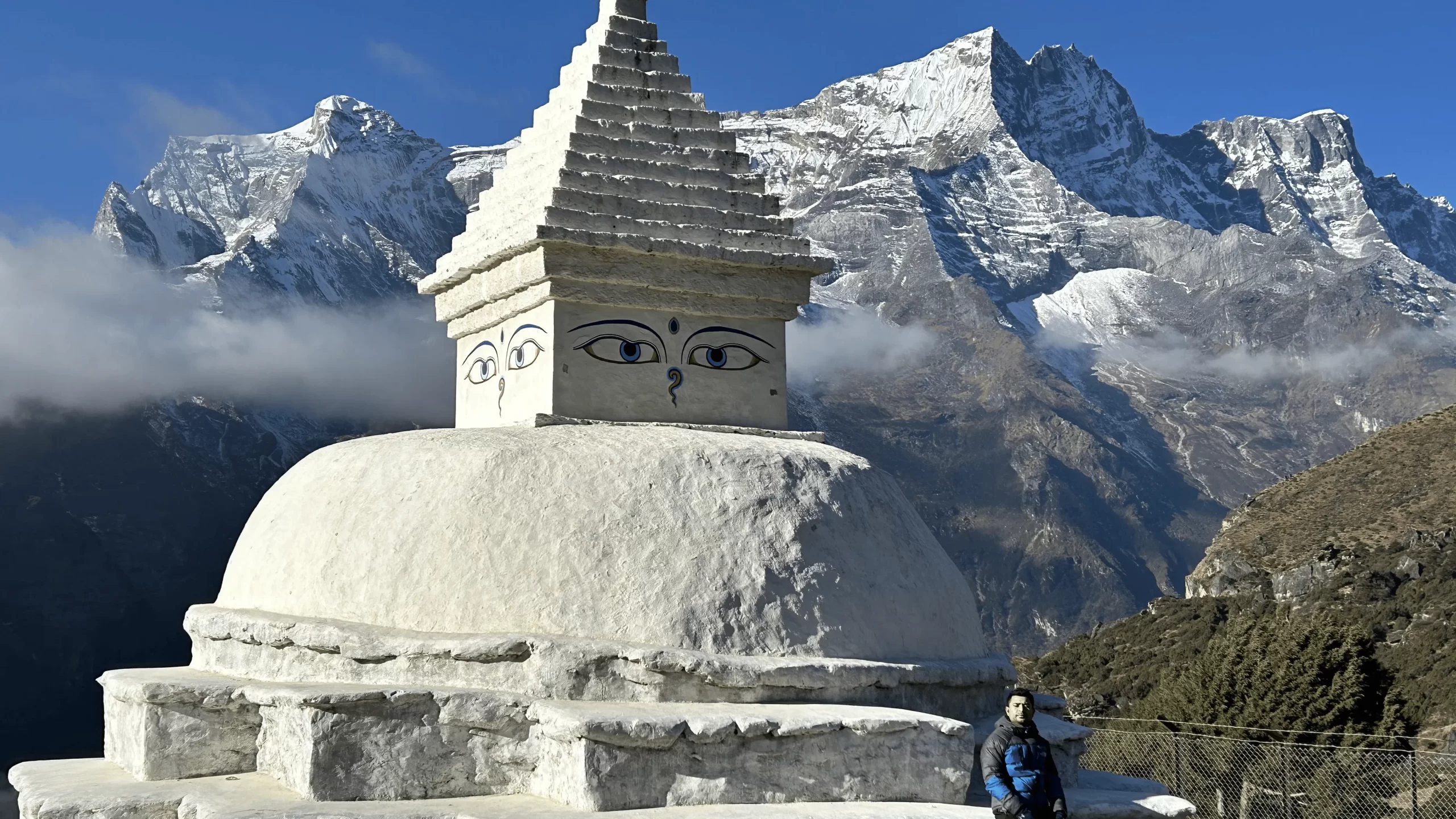
This is the same chhorten during some of the best trekking season.
Why Syangboche Airport doesn’t have regular passenger operations?
As far back in 2002, Nepali Times had reported about how locals in Lukla had said that they will “try to ensure Syangboche never opens for STOL traffic”.
“They are even prepared to repeat their 1997 sit-ins on the runway to protest cargo and passenger helicopters flying tourists directly to Syangboche. The runway improvement has already been delayed because of vandalism of some construction equipment.”
Syangboche Airport is almost two days of walk away from Lukla and should Short Take off and Landing (STOL) operations begin here, most air traffic (and therefore, tourists) will land here, costing Lukla dear. The demonstrations by residents in Lukla might be ironic because the construction of the Lukla Airport, which is considered to be the most dangerous airport in the world itself cut the two-week walk to the Khumbu region via Lamosangu and Jiri. All the traffic of trekkers who would walk through villages in Junbesi and along the Jiri trail dried up after trekkers and mountaineers to the Everest base Camp started flying directly to Lukla.
The airport could have been operational more than two decades ago but the airport has undergone some political scuffle:
” The decision to refurbish the Syangboche airstrip appears to be the result of a falling out between tourism minister Bal Bahadur KC and his party cadre in Lukla who staged a demonstration against him in October last year when the newly black-topped runway and new terminal building in Lukla were inaugurated. KC’s erstwhile loyalists were unhappy about the shoddy construction of the new supporting wall built along the northern edge of the runway which they said already looks fragile, and may not survive this monsoon.”
Tara Air and Nepal Airlines: The two airlines that have operated to Syangboche Airport
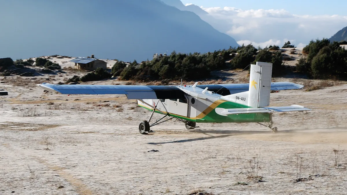
Only two airline operators have conducted sporadic passenger flights in Syangboche. One of them is Tara Air, which deployed Pilatus PC-6/B2-H4 Turbo Porter in Syangboche airport, and a subsidiary of Yeti Airlines. The following photograph is an example of Tara Air’s operation here:
The other operator was Nepal Airlines, formerly known as Royal Nepal Airlines, as the following photograph demonstrates:
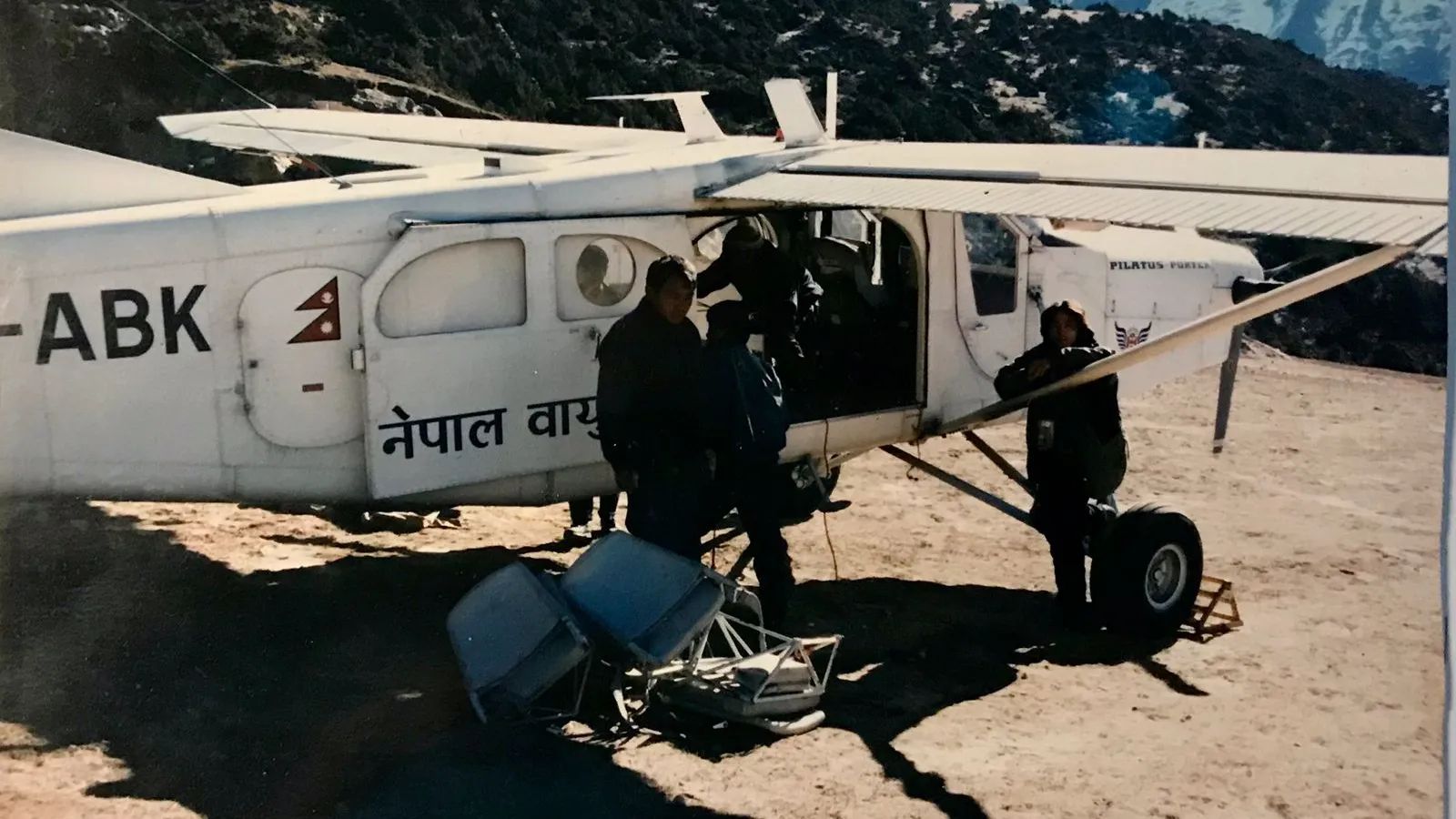
The airport was primary used to transport people who wanted to fly to Hotel Everest View, said Mahendra Rai (the author of the photograoh above), a resident of Khumjung Municipality and a former staff of this hotel, which once had the distinction of being the hotel located at the highest altitude:
” If regular commercial operations begin at Syangboche airport, this will shorten the popular Everest trek from 14 days to nine days roundtrip. This also means that people who use zopkio and yak for transporting goods into the region will also be out of business. “
Syangboche Airport turns into a snowy desert in winters
Despite the picturesqueness of the airport, there are other things to worry about as well. During snowy winters, Syangboche airport becomes an icefield, as exemplified in the photograph below.
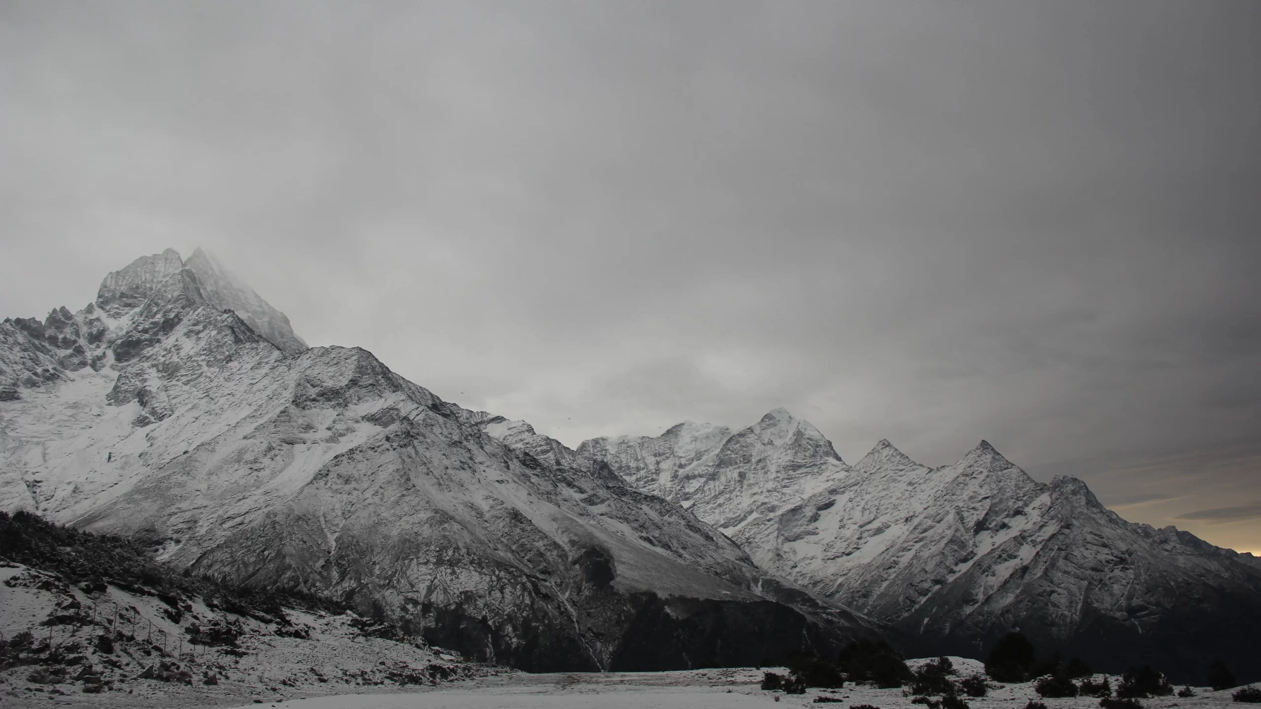
Although the airport turns into a dreamland of sorts with the splendid mountain views, regular passenger operations become extremely difficult.
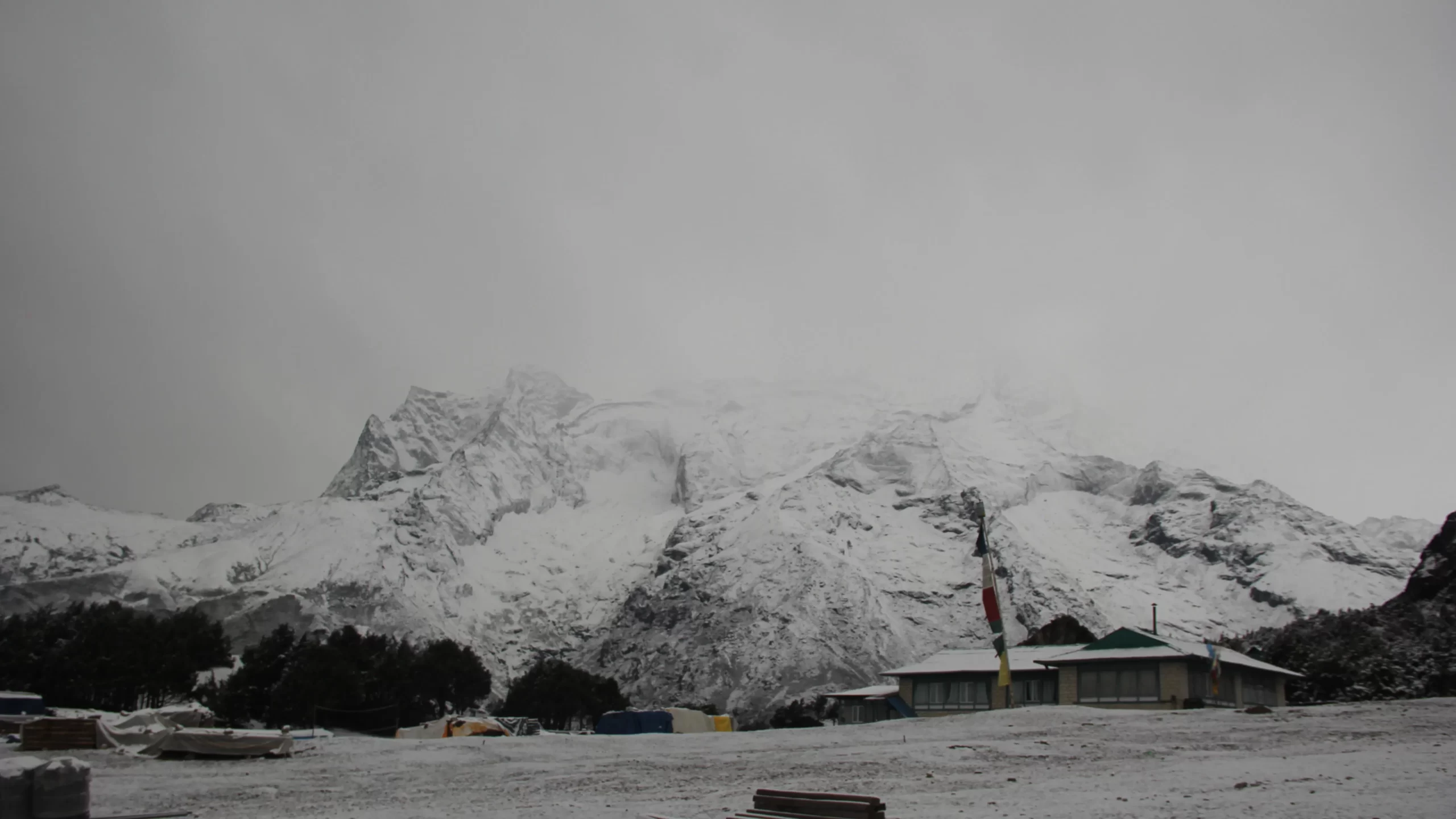
Further, many residents of Khumjung municipality come to Kathmandu (or lower parts of Solukhumbu district) during the winter. Many lodges and restaurants are closed. This means that the airport won’t have passenger operations (due to inclement weather conditions) for long stretches of time in a year. The following picture gives a clue about the surrounding area of Syangboche airport during the winter season:
Problems of Mountain Waves in Syangboche Airport
Nepal has many aerodromes and airstrips. However, not all of them are fully functioning.
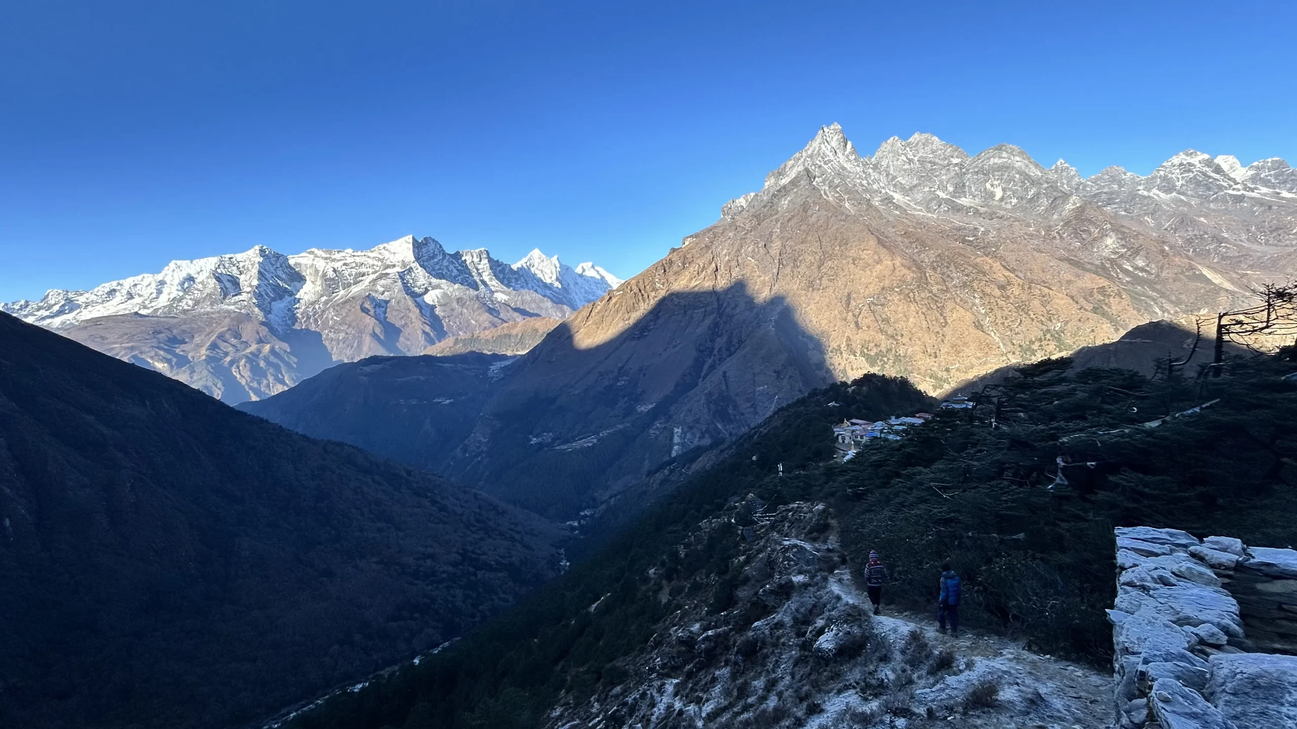
The map below shows airstrips in Thyangboche, is a village that lies one day trek from Syangboche airport. Syangboche and Tengboche are geographically similar, surrounded by tall mountains, posing risks for operations. The following is a photo of Tengboche:
Captain Emil J. Wick, who is a retired pilot of Royal Nepalese Airlines, published his findings in a study titled “Air Motions in the vicinity of Mt. Everest as deduced from Pilatus Porter Flights” reported about the difficulty in operations at Syangboche:
“During wintertime between Lukla and Syangboche airstrips, the Dudh Kosi Valley is frequently covered by stratus in the morning. Above the stratus (4000-4500 m) the air between the airstrips is often very rough. Frequently, in February, frequently no clouds occur in the valleys. In these cases, the flights could only be made at very low altitudes in the valleys approaching Lukla or Syangboche airsstrips owing to severe turbulence higher up in lhc Dudh Kosi valley. Only south ofLukla would smoother conditions occur in the valley.”
Given that these results were from flights between 1974- 1986 and Captain Wick reported about the “funneling effect” observed in his flights in the following way:
“The flight pattern followed the valleys, which were usually nearly calm, until reaching Syangboche airfield. There, a transition occurred to the high speed westerly airflows. As a result of the high-speed flows, two wake turbulence regions were often encountered. The first region was downwind (east) of Taboche peak and the second was downwind (east) of the Chakri ridge. “
One might wonder why the operations to Syangboche were being discussed despite the strong turbulence in this airport, which has a runway dimension of 405 m x 30 m:
Operational & Infrastructure Details of Syangboche Airport
| Field | Details |
|---|---|
| Re-fueling Facility | Not Available |
| Service (AFIS) | Visual Flight Rules (VFR) |
| Type of Traffic Permitted | VFR Only |
| Scheduled Operating Airlines | None |
| Scheduled Connectivity | None |
| RFF (Rescue & Firefighting) | Not Available |
| Infrastructure Condition | Airside – Basic |
| Runway Type of Surface | Earthen |
| Runway Dimension | 405 m × 30 m |
| Runway Designation | 13/31 |
| Apron Type | Earthen |
The Current State and the Future of Syangboche Airport
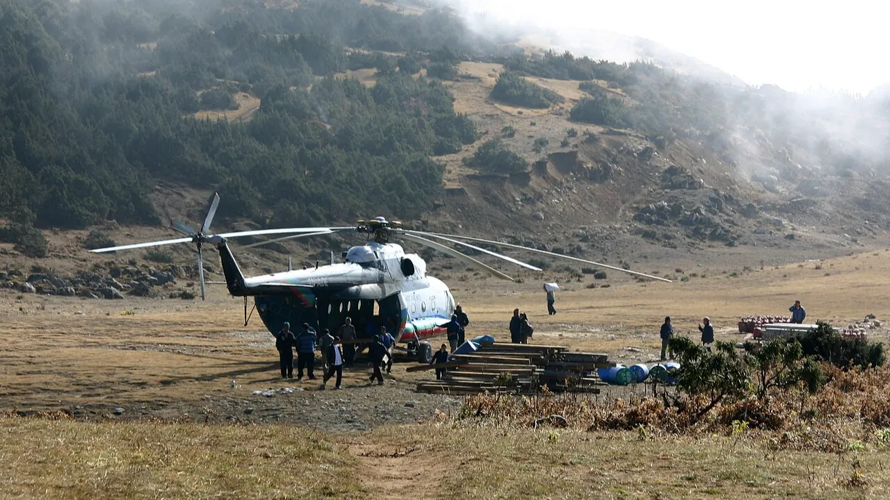
The airport now sees ceiling operations from helicopters as they often deliver a lot of essential supplies to the region. One of the most sought after helicopters operating in this region was the Mil-17 operated by Shree Airlines.
Surrounded by the most wonderful peaks, Syangboche Airport has all the promises of becoming one of the most picturesque airports in the world. Whether it will function in the future is something we don’t know. After all, Nepal has more than fifty airports, and more than half of them are non-functional. For now, Syangboche is one such airport in Nepal: full of promises, but no results.